Cavadas (Rua das Mangas)
Cavadas (Rua das Mangas) is a bus stop in O. Azeméis, Riba-Ul, Ul, Macinhata da Seixa, Madail, Oliveira de Azeméis Municipality, Aveiro District. Cavadas (Rua das Mangas) is situated nearby to the park Parque de Lazer do Cercal, as well as near the square Largo de Carcavelos.| Tap on a place to explore it |
Places of Interest Nearby
Highlights include Couto de Cucujães railway halt and Mosteiro de São Martinho de Cucujães.
Couto de Cucujães railway halt
Railway station
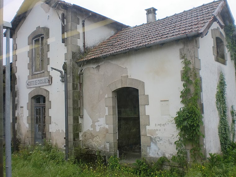
Photo: JP Ribeiro, CC BY-SA 4.0.
Couto de Cucujães railway halt is a railway station, which is situated 1 km northwest of Cavadas (Rua das Mangas).
Mosteiro de São Martinho de Cucujães
Monastery

Photo: A14843, CC BY-SA 3.0.
Mosteiro de São Martinho de Cucujães is a monastery, which is situated 1 km northwest of Cavadas (Rua das Mangas).
Santiago de Riba - Ul railway halt
Railway stop

Photo: Wikimedia, Public domain.
Santiago de Riba - Ul railway halt is a railway stop, which is situated 1¼ km south of Cavadas (Rua das Mangas).
Places in the Area
Nearby places include Vila de Cucujães and Ul (Oliveira de Azeméis).
Ul (Oliveira de Azeméis)
Village

Photo: Vitor Oliveira, CC BY-SA 2.0.
Oliveira de Azeméis, Santiago de Riba-Ul, Ul, Macinhata da Seixa e Madail is a civil parish in the municipality of Oliveira de Azeméis in Porto Metropolitan Area, Portugal. Ul (Oliveira de Azeméis) is situated 4 km south of Cavadas (Rua das Mangas).
Macieira de Sarnes
Village

Photo: RSAlmeida, CC BY-SA 4.0.
Macieira de Sarnes is a village, which is situated 5 km north of Cavadas (Rua das Mangas).
Cavadas (Rua das Mangas)
Latitude
40.86154° or 40° 51′ 42″ northLongitude
-8.48695° or 8° 29′ 13″ westOpen location code
8CGHVG67+J6OpenStreetMap ID
node 10120745412OpenStreetMap feature
highway=bus_stopOpenStreetMap feature
public_transport=platform
This page is based on OpenStreetMap, Wikidata, and Wikimedia Commons.
We’d love your help improving our open data sources. Thank you for contributing.
Satellite Map
Discover Cavadas (Rua das Mangas) from above in high-definition satellite imagery.
Notable Places Nearby
Highlights include Parque de Lazer do Cercal and Largo de Carcavelos.
Nearby Places
Explore places such as Cavadas (Rua das Mangas) and Alminhas da Ponte dos Cavaleiros.
Portugal: Must-Visit Destinations
Delve into Lisbon, Caldas da Rainha, Porto, and Coimbra.
Curious Bus Stops to Discover
Uncover intriguing bus stops from every corner of the globe.
About Mapcarta. Data © OpenStreetMap contributors and available under the Open Database License". Text is available under the CC BY-SA 4.0 license, except for photos, directions, and the map. Photo: Tsy1980, CC BY-SA 4.0.