Cerovščica
Cerovščica is a peak in Kozje, Slovenia and has an elevation of 412 metres. Cerovščica is situated nearby to the village Bistrica, as well as near Dobje pri Lesičnem.| Tap on a place to explore it |
Places of Interest
Highlights include Grad Pilštanj.

Places in the Area
Nearby places include Dobje pri Lesičnem and Zagorje.
Dobje pri Lesičnem
Village

Photo: Wikimedia, CC BY-SA 2.5 si.
Dobje pri Lesičnem is a settlement in the Municipality of Šentjur, in eastern Slovenia. The settlement, and the entire municipality, are included in the Savinja Statistical Region, which is in the Slovenian portion of the historical Duchy of Styria.
Zagorje
Village

Photo: Ajznponar, CC BY-SA 4.0.
Zagorje is a village in the Municipality of Kozje in eastern Slovenia. It lies in the southern part of the Sava Hills. The area is part of the historical Styria region.
Šentvid pri Planini
Village
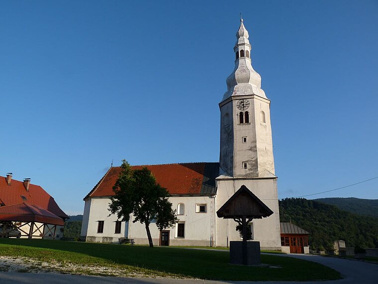
Photo: Wikimedia, CC BY-SA 2.5 si.
Šentvid pri Planini is a village east of Planina pri Sevnici in the Municipality of Šentjur, eastern Slovenia. The settlement, and the entire municipality, are included in the Savinja Statistical Region, which is in the Slovenian portion of the historical Duchy of Styria.
Cerovščica
- Type: Peak with an elevation of 412 metres
- Category: landform
- Location: Kozje, Slovenia, Central Europe, Europe
- View on OpenStreetMap
Latitude
46.1096° or 46° 6′ 35″ northLongitude
15.4695° or 15° 28′ 10″ eastElevation
412 metres (1,352 feet)Open location code
8FRQ4F59+RQOpenStreetMap ID
node 10128687498OpenStreetMap feature
natural=peak
This page is based on OpenStreetMap, Wikidata, and Wikimedia Commons.
We’d love your help improving our open data sources. Thank you for contributing.
Satellite Map
Discover Cerovščica from above in high-definition satellite imagery.
Localities in the Area
Explore places such as Bistrica and Podvine.
Notable Places Nearby
Highlights include Razbor and Sveti Andrej.
Slovenia: Must-Visit Destinations
Delve into Ljubljana, Maribor, Koper, and Celje.
Curious Peaks to Discover
Uncover intriguing peaks from every corner of the globe.
About Mapcarta. Data © OpenStreetMap contributors and available under the Open Database License". Text is available under the CC BY-SA 4.0 license, except for photos, directions, and the map. Photo: Jjtkk, CC BY 3.0.