Steffis Frisierstube
Steffis Frisierstube is a hairdresser in Sülzetal, Börde Rural District, Saxony-Anhalt which is located on Friedensstraße. Steffis Frisierstube is situated nearby to the stone Steinkreuz, as well as near the church Sankt Martinus.| Tap on a place to explore it |
- Email: info@steffis-frisierstube.de
- Type: Hairdresser
- Address: Friedensstraße 36, Sülzetal, 39171
Places of Interest Nearby
Highlights include Elementary school and Schloss Bahrendorf.
Elementary school
School

Photo: Reise Reise, CC BY-SA 4.0.
Elementary school is situated 720 metres east of Steffis Frisierstube.
Schloss Bahrendorf
Castle

Photo: Wilhelm Biscan, CC BY-SA 3.0 de.
Schloss Bahrendorf is a castle, which is situated 2 km east of Steffis Frisierstube.
St. Marien
Church

Photo: Reise Reise, CC BY-SA 4.0.
St. Marien is a church, which is situated 2 km east of Steffis Frisierstube.
Places in the Area
Nearby places include Buch and Bottmersdorf.
Buch
Hamlet
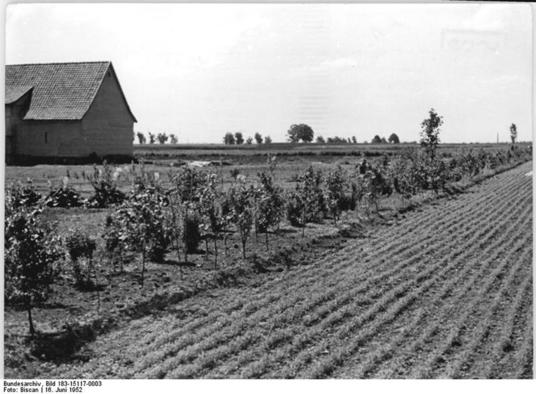
Photo: Wilhelm Biscan, CC BY-SA 3.0 de.
Buch is a hamlet, which is situated 6 km northwest of Steffis Frisierstube.
Bottmersdorf
Village
Bottmersdorf is a village and a former municipality in the Börde district in Saxony-Anhalt, Germany. Since 1 January 2010, it is part of the town Wanzleben-Börde. Bottmersdorf is situated 7 km northwest of Steffis Frisierstube.
Klein Germersleben
Village

Photo: Andreaskanitz, CC BY-SA 3.0.
Klein Germersleben is a village, which is situated 9 km west of Steffis Frisierstube.
Steffis Frisierstube
- Category: shop
- Location: Sülzetal, Börde Rural District, Saxony-Anhalt, Germany, Central Europe, Europe
- View on OpenStreetMap
Latitude
52.00083° or 52° 0′ 3″ northLongitude
11.5278° or 11° 31′ 40″ eastOperator
Steffi HellwigOpen location code
9F4H2G2H+84OpenStreetMap ID
node 10144896156OpenStreetMap feature
shop=hairdresser
This page is based on OpenStreetMap, Wikidata, and Wikimedia Commons.
We’d love your help improving our open data sources. Thank you for contributing.
Satellite Map
Discover Steffis Frisierstube from above in high-definition satellite imagery.
Notable Places Nearby
Highlights include Steinkreuz and Sankt Martinus.
Nearby Places
Explore places such as Hyundai and Malerbetrieb Neppe.
Saxony-Anhalt: Must-Visit Destinations
Delve into Magdeburg, Halle, Wittenberg, and Quedlinburg.
Curious Hairdressers to Discover
Uncover intriguing hairdressers from every corner of the globe.
About Mapcarta. Data © OpenStreetMap contributors and available under the Open Database License". Text is available under the CC BY-SA 4.0 license, except for photos, directions, and the map. Photo: GMM, Public domain.