Pomník padlým
Pomník padlým is a memorial in Mrákov, Domažlice District, Plzeň Region. Pomník padlým is situated nearby to the memorial Pomník Boženy Němcové, as well as near Church of Saint Lawrence.| Tap on a place to explore it |
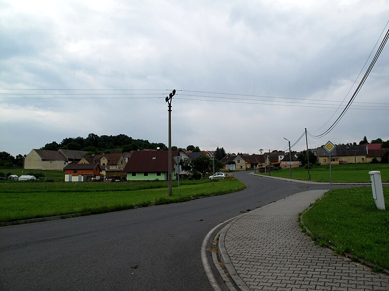
Photo: YjM, CC BY-SA 4.0.
Places of Interest Nearby
Highlights include Church of Saint Lawrence and Pomník Boženy Němcové.

Chapel of Saint Wenceslaus
Church
 Chapel of Saint Wenceslaus is a church, which is situated 730 metres southeast of Pomník padlým.
Places in the Area
Nearby places include Mrákov and Starý Klíčov.
Mrákov
Village
 Mrákov is a municipality and village in Domažlice District in the Plzeň Region of the Czech Republic. It has about 1,200 inhabitants. Mrákov lies approximately 5 kilometres south of Domažlice, 50 km south-west of Plzeň, and 131 km south-west of Prague.
Tlumačov
Village
 Tlumačov is a municipality and village in Domažlice District in the Plzeň Region of the Czech Republic. It has about 400 inhabitants. Tlumačov lies approximately 5 kilometres south of Domažlice, 51 km south-west of Plzeň, and 132 km south-west of Prague.
Pomník padlým
- Type: Memorial
- Categories: war memorial and historic site
- Location: Mrákov, Domažlice District, Plzeň Region, Czech Republic, Central Europe, Europe
- View on OpenStreetMap
Latitude
49.40341° or 49° 24′ 12″ northLongitude
12.95049° or 12° 57′ 2″ eastOpen location code
8FXJCX32+95OpenStreetMap ID
node 10157345399OpenStreetMap feature
historic=memorialWikidata ID
Q66050096
This page is based on OpenStreetMap, Wikidata, and Wikimedia Commons.
We’d love your help improving our open data sources. Thank you for contributing.
Satellite Map
Discover Pomník padlým from above in high-definition satellite imagery.
In Other Languages
“Pomník padlým” goes by many names.
- Czech: “Pomník padlým v I. sv. válce ve středu Mrákova”
Places with the Same Name
Discover other places named “Pomník padlým”.
Notable Places Nearby
Highlights include Mrákov and hřbitovní kaple.
Nearby Places
Explore places such as Mrákov and Mrákov.
Czech Republic: Must-Visit Destinations
Delve into Prague, Brno, Pilsen, and Ostrava.
Curious Memorials to Discover
Uncover intriguing memorials from every corner of the globe.
About Mapcarta. Data © OpenStreetMap contributors and available under the Open Database License". Text is available under the CC BY-SA 4.0 license, except for photos, directions, and the map. Photo: YjM, CC BY-SA 4.0.