Le Portail-Saget
Le Portail-Saget is a hamlet in Pleumeleuc, Arrondissement of Rennes, Brittany. Le Portail-Saget is situated nearby to the hamlet La Belle Epine, as well as near La Basse Cheneraie.| Tap on a place to explore it |
Places of Interest
Highlights include Château de Perronnay and Église Saint-Pierre de Pleumeleuc.

Église Saint-Pierre de Pleumeleuc
Church
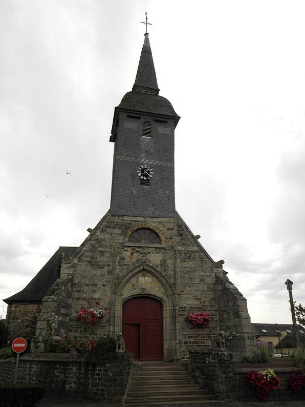 Église Saint-Pierre de Pleumeleuc is a church, which is situated 3 km southeast of Le Portail-Saget.
Église Saint-Pierre et Saint-Louis de Bédée
Church

Photo: Flomacon35, CC BY-SA 3.0.
Église Saint-Pierre et Saint-Louis de Bédée is a church, which is situated 3 km south of Le Portail-Saget.
Places in the Area
Nearby places include Bédée and La Nouaye.
Bédée

Photo: EdouardHue, CC BY-SA 3.0.
Bédée is a commune in the department of Ille-et-Vilaine in Brittany. It's 20 km on the RN12 road from Rennes to Brest. It is 20 km from Rennes and is surrounded by Montfort-sur-Meu, Iffendic, La Nouaye, Breteil, Pleumeleuc, Talensac, Saint-Gonlay.
La Nouaye
 La Nouaye is a commune in the department of Ille-et-Vilaine in Brittany. The commune of La Nouaye is part of Montfort-sur-Meu county. It comes under the control of Rennes.
Breteil

Photo: EdouardHue, CC BY-SA 3.0.
Breteil is a commune in the department of Ille-et-Vilaine in Brittany. The Meu River forms the commune's southwestern border. The town has 3,502 inhabitants and stretches over 1,470 hectares.
Le Portail-Saget
- Type: Hamlet
- Category: locality
- Location: Pleumeleuc, Arrondissement of Rennes, Ille-et-Vilaine, Brittany, France, Europe
- View on OpenStreetMap
Latitude
48.20714° or 48° 12′ 26″ northLongitude
-1.93492° or 1° 56′ 6″ westOpen location code
8CWW6348+V2OpenStreetMap ID
node 10162167475OpenStreetMap feature
place=hamlet
This page is based on OpenStreetMap, Wikidata, and Wikimedia Commons.
We’d love your help improving our open data sources. Thank you for contributing.
Satellite Map
Discover Le Portail-Saget from above in high-definition satellite imagery.
Localities in the Area
Explore places such as La Belle Epine and La Basse Cheneraie.
Notable Places Nearby
Highlights include Chapelle Saint-Urbain and Médiathèque La Parchemine.
Brittany: Must-Visit Destinations
Delve into Rennes, Brest, Finistère, and Morbihan.
Curious Hamlets to Discover
Uncover intriguing hamlets from every corner of the globe.
About Mapcarta. Data © OpenStreetMap contributors and available under the Open Database License". Text is available under the CC BY-SA 4.0 license, except for photos, directions, and the map. Photo: Spendeau, CC BY-SA 3.0.