Ferme d’en Garcie
Ferme d’en Garcie is a chalet in Porté-Puymorens, Arrondissement of Prades, Occitanie. Ferme d’en Garcie is situated nearby to the cemetery Cimetière de Porté-Puymorens, as well as near the town hall Mairie de Porté-Puymorens.| Tap on a place to explore it |
Places of Interest Nearby
Highlights include Église de la Nativité-de-Notre-Dame de Porté-Puymorens and Château de Puymorens.
Église de la Nativité-de-Notre-Dame de Porté-Puymorens
Church
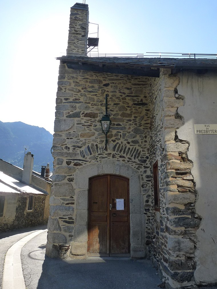
Photo: Jack ma, CC BY-SA 3.0.
Église de la Nativité-de-Notre-Dame de Porté-Puymorens is a church, which is situated 150 metres west of Ferme d’en Garcie.
Château de Puymorens
Ruins

Photo: Jack ma, CC BY-SA 3.0.
Château de Puymorens is a ruins, which is situated 1 km southwest of Ferme d’en Garcie.
Porté-Puymorens station
Railway stop

Photo: John 66000, CC BY-SA 4.0.
Porté-Puymorens is a railway station 1 km south-west of Porté-Puymorens, Occitanie, France. The station is on the Portet-Saint-Simon–Puigcerdà railway. Porté-Puymorens station is situated 1¼ km southwest of Ferme d’en Garcie.
Places in the Area
Nearby places include Porté-Puymorens and Porta.
Porté-Puymorens
Village

Photo: Cevenol2, CC BY-SA 2.0 fr.
Porté-Puymorens is a commune in the Pyrénées-Orientales department in southern France.
Porta
Village

Photo: Sergio09200, CC BY-SA 4.0.
Porta is a commune in the Pyrénées-Orientales department in southern France. Porta is situated 2½ km south of Ferme d’en Garcie.
L’Hospitalet-près-l’Andorre
Village

Photo: Cevenol2, CC BY-SA 2.0 fr.
L'Hospitalet-près-l'Andorre is a commune in the Ariège department of southwestern France. The area has a history of vulnerability to winter avalanches: one such in 1895 killed 12, and much destruction was also caused in 1906 and 1929. L’Hospitalet-près-l’Andorre is situated 5 km northwest of Ferme d’en Garcie.
Ferme d’en Garcie
- Email: nathalie.komaroff@wanadoo.fr
- Type: Chalet
- Categories: tourism, accommodation, and building
- Location: Porté-Puymorens, Arrondissement of Prades, Pyrénées-Orientales, Occitanie, France, Europe
- View on OpenStreetMap
Latitude
42.54801° or 42° 32′ 53″ northLongitude
1.83283° or 1° 49′ 58″ eastOpen location code
8FJ3GRXM+64OpenStreetMap ID
node 10207728025OpenStreetMap feature
tourism=chalet
This page is based on OpenStreetMap, Wikidata, and Wikimedia Commons.
We’d love your help improving our open data sources. Thank you for contributing.
Satellite Map
Discover Ferme d’en Garcie from above in high-definition satellite imagery.
Notable Places Nearby
Highlights include Cimetière de Porté-Puymorens and Mairie de Porté-Puymorens.
Nearby Places
Explore places such as La Rivière and Castel Isard.
Pyrénées-Orientales: Must-Visit Destinations
Delve into Perpignan, Céret, Collioure, and Arles-sur-Tech.
Curious Chalets to Discover
Uncover intriguing chalets from every corner of the globe.
About Mapcarta. Data © OpenStreetMap contributors and available under the Open Database License". Text is available under the CC BY-SA 4.0 license, except for photos, directions, and the map. Photo: Inkey, CC BY-SA 3.0.