EN 248-3 (Bulhaco)
EN 248-3 (Bulhaco) is a bus stop in Alhandra, São João dos Montes e Calhandriz, Vila Franca de Xira, Lisbon District. EN 248-3 (Bulhaco) is situated nearby to the peak Linhó, as well as near the village Cardosas.| Tap on a place to explore it |
Places of Interest Nearby
Highlights include Fort of Cego and Câmara Municipal de Arruda dos Vinhos.
Fort of Cego
Protected area
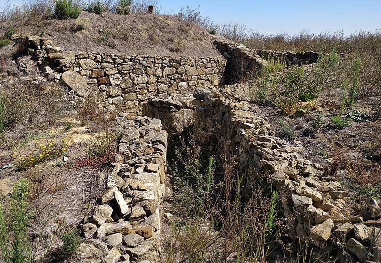
Photo: Roundtheworld, CC BY-SA 4.0.
The Fort of Cego is located in the municipality of Arruda dos Vinhos, in the Lisbon District of Portugal. It is also known as the Fort of Saint Sebastian. Fort of Cego is situated 3 km northwest of EN 248-3 (Bulhaco).
Câmara Municipal de Arruda dos Vinhos
Town hall

Photo: Vitor Oliveira, CC BY-SA 2.0.
Câmara Municipal de Arruda dos Vinhos is a town hall, which is situated 4 km northwest of EN 248-3 (Bulhaco).
Places in the Area
Nearby places include Cardosas and Arruda dos Vinhos.
Cardosas
Village
Cardosas is a civil parish in the municipality of Arruda dos Vinhos, Portugal. The population in 2011 was 836, in an area of 6.01 km2. Cardosas is situated 3 km northeast of EN 248-3 (Bulhaco).
Arruda dos Vinhos

Photo: Vitor Oliveira, CC BY-SA 2.0.
Arruda dos Vinhos is a municipality in the Lisbon District in Portugal. The population in 2011 was 13,391, in an area of 77.96 square kilometres. The present Mayor is André Filipe dos Santos Rijo, elected from the Socialist Party.
Alhandra
Town

Photo: Wikimedia, CC BY-SA 4.0.
Alhandra, São João dos Montes e Calhandriz is a civil parish in the municipality of Vila Franca de Xira, Portugal. It was formed in 2013 by the merger of the former parishes Alhandra, São João dos Montes and Calhandriz. Alhandra is situated 5 km southeast of EN 248-3 (Bulhaco).
EN 248-3 (Bulhaco)
- Type: Bus stop
- Category: transportation
- Location: Alhandra, São João dos Montes e Calhandriz, Vila Franca de Xira, Lisbon District, Portugal, Iberia, Europe
- View on OpenStreetMap
Latitude
38.95097° or 38° 57′ 4″ northLongitude
-9.05741° or 9° 3′ 27″ westNetwork
Carris MetropolitanaOpen location code
8CCGXW2V+92OpenStreetMap ID
node 10296422135OpenStreetMap feature
highway=bus_stopOpenStreetMap feature
public_transport=platform
This page is based on OpenStreetMap, Wikidata, and Wikimedia Commons.
We’d love your help improving our open data sources. Thank you for contributing.
Satellite Map
Discover EN 248-3 (Bulhaco) from above in high-definition satellite imagery.
Notable Places Nearby
Highlights include Forte da Serra do Formoso and Forte Novo da Serra do Formoso.
Nearby Places
Explore places such as EN 10-6 (Bulhaco) and EN 10-6 (Bulhaco).
Portugal: Must-Visit Destinations
Delve into Lisbon, Caldas da Rainha, Porto, and Coimbra.
Curious Bus Stops to Discover
Uncover intriguing bus stops from every corner of the globe.
About Mapcarta. Data © OpenStreetMap contributors and available under the Open Database License". Text is available under the CC BY-SA 4.0 license, except for photos, directions, and the map. Photo: Tobias Scheck, CC BY 2.0.