R António Ferreira 27-23
R António Ferreira 27-23 is a bus stop in Santa Iria de Azoia, São João da Talha e Bobadela, Loures, Lisbon District. R António Ferreira 27-23 is situated nearby to the church Centro Paroquial Nossa Senhora dos Remédios Bobadela, as well as near the playground Parque Infantil da Adegas.| Tap on a place to explore it |
Places of Interest Nearby
Highlights include Bobadela train station and Ceramics Museum of Sacavém.
Bobadela train station
Railway stop

Photo: Nuno Morão, CC BY-SA 2.0.
Bobadela train station is a railway stop, which is situated 500 metres southeast of R António Ferreira 27-23.
Ceramics Museum of Sacavém
Museum
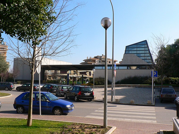
Photo: Juntas, Public domain.
The Ceramics Museum of Sacavém is situated in the town of Sacavém in the municipality of Loures, just northeast of Lisbon in Portugal. The museum was opened in July 2000 and was constructed on the grounds of a former ceramics factory. Ceramics Museum of Sacavém is situated 2 km south of R António Ferreira 27-23.
Casa-Museu José Pedro
Museum

Photo: Juntas, CC BY-SA 3.0.
Casa-Museu José Pedro is a museum, which is situated 2 km south of R António Ferreira 27-23.
Places in the Area
Nearby places include Bobadela and Unhos.

Unhos
Village

Photo: Juntas, CC BY-SA 2.5.
Unhos is a village, which is situated 3 km northwest of R António Ferreira 27-23.
Camarate
Town

Photo: Wikimedia, CC BY-SA 3.0.
Camarate is a former civil parish in the municipality of Loures, Lisbon District, Portugal. In 2013, the parish merged into the new parish Camarate, Unhos e Apelação. Camarate is situated 3 km west of R António Ferreira 27-23.
R António Ferreira 27-23
- Type: Bus stop
- Category: transportation
- Location: Santa Iria de Azoia, São João da Talha e Bobadela, Loures, Lisbon District, Portugal, Iberia, Europe
- View on OpenStreetMap
Latitude
38.80982° or 38° 48′ 35″ northLongitude
-9.09901° or 9° 5′ 56″ westNetwork
Carris MetropolitanaOpen location code
8CCGRW52+W9OpenStreetMap ID
node 10296424098OpenStreetMap feature
highway=bus_stopOpenStreetMap feature
public_transport=platform
This page is based on OpenStreetMap, Wikidata, and Wikimedia Commons.
We’d love your help improving our open data sources. Thank you for contributing.
Satellite Map
Discover R António Ferreira 27-23 from above in high-definition satellite imagery.
Notable Places Nearby
Highlights include Centro Paroquial Nossa Senhora dos Remédios Bobadela and Parque Infantil da Adegas.
Nearby Places
Explore places such as R Ant Ferreira 21 and Lgo Inf D Henrique 7.
Portugal: Must-Visit Destinations
Delve into Lisbon, Caldas da Rainha, Porto, and Coimbra.
Curious Bus Stops to Discover
Uncover intriguing bus stops from every corner of the globe.
About Mapcarta. Data © OpenStreetMap contributors and available under the Open Database License". Text is available under the CC BY-SA 4.0 license, except for photos, directions, and the map. Photo: Vitor Oliveira, CC BY-SA 2.0.