Av Escolas (Escola)
Av Escolas (Escola) is a bus stop in Moscavide e Portela, Loures, Lisbon District. Av Escolas (Escola) is situated nearby to the sports venue Pavilhão desportivo da Escola Secundária da Portela, as well as near the town hall Junta de Freguesia da Portela.| Tap on a place to explore it |
Places of Interest Nearby
Highlights include Lisbon Airport and Igreja de Cristo-Rei da Portela.
Lisbon Airport

Photo: Wikimedia, CC BY-SA 3.0.
Lisbon Airport is the busiest airport in Portugal. The airport lies almost entirely within Lisbon city limits. It serves as a major hub connecting Europe with Africa and South America.
Igreja de Cristo-Rei da Portela
Church

Photo: Wikimedia, CC BY-SA 3.0.
Igreja de Cristo-Rei da Portela is a church, which is situated 550 metres southeast of Av Escolas (Escola).
Ceramics Museum of Sacavém
Museum
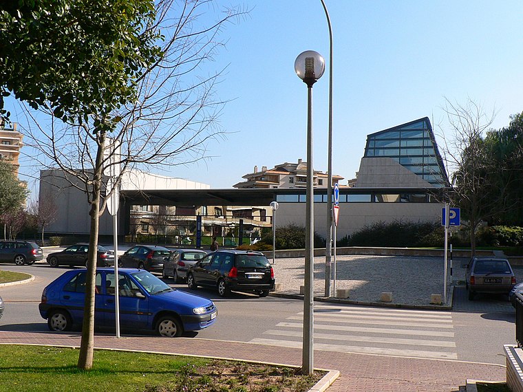
Photo: Juntas, Public domain.
The Ceramics Museum of Sacavém is situated in the town of Sacavém in the municipality of Loures, just northeast of Lisbon in Portugal. The museum was opened in July 2000 and was constructed on the grounds of a former ceramics factory. Ceramics Museum of Sacavém is situated 1½ km northeast of Av Escolas (Escola).
Places in the Area
Nearby places include Portela and Olivais.
Portela
Village
Portela is a former civil parish in the municipality of Loures, Lisbon District, Portugal. In 2013, the parish merged into the new parish Moscavide e Portela.
Olivais
Village

Photo: Wikimedia, Public domain.
Olivais is a freguesia and traditional quarter of Lisbon, the capital of Portugal. It is situated in the eastern part of the city, bordered by Parque das Nações to the east, Marvila and Alvalade to the south, and Lumiar and Santa Clara to the west.
Camarate
Town

Photo: Wikimedia, CC BY-SA 3.0.
Camarate is a former civil parish in the municipality of Loures, Lisbon District, Portugal. In 2013, the parish merged into the new parish Camarate, Unhos e Apelação.
Av Escolas (Escola)
- Type: Bus stop
- Category: transportation
- Location: Moscavide e Portela, Loures, Lisbon District, Portugal, Iberia, Europe
- View on OpenStreetMap
Latitude
38.78557° or 38° 47′ 8″ northLongitude
-9.1143° or 9° 6′ 52″ westNetwork
Carris MetropolitanaOpen location code
8CCGQVPP+67OpenStreetMap ID
node 10296424911OpenStreetMap feature
highway=bus_stopOpenStreetMap feature
public_transport=platform
This page is based on OpenStreetMap, Wikidata, and Wikimedia Commons.
We’d love your help improving our open data sources. Thank you for contributing.
Satellite Map
Discover Av Escolas (Escola) from above in high-definition satellite imagery.
Notable Places Nearby
Highlights include Pavilhão desportivo da Escola Secundária da Portela and Junta de Freguesia da Portela.
Nearby Places
Explore places such as Escola Secundária da Portela and Escola Básica Gaspar Correia.
Portugal: Must-Visit Destinations
Delve into Lisbon, Caldas da Rainha, Porto, and Coimbra.
Curious Bus Stops to Discover
Uncover intriguing bus stops from every corner of the globe.
About Mapcarta. Data © OpenStreetMap contributors and available under the Open Database License". Text is available under the CC BY-SA 4.0 license, except for photos, directions, and the map. Photo: Vitor Oliveira, CC BY-SA 2.0.