Damke Gartengestaltung
Damke Gartengestaltung is a gardener in Dötlingen, Oldenburg, Lower Saxony which is located on Am Brink. Damke Gartengestaltung is situated nearby to the protected area Rittrumer Berge, as well as near Wild- und Freizeitpark Ostrittrum.| Tap on a place to explore it |
Places of Interest Nearby
Highlights include Großsteingrab Steenberg and Poggenpohlsmoor.
Großsteingrab Steenberg
Archaeological site

Photo: Travus, CC BY-SA 3.0.
Großsteingrab Steenberg is an archaeological site, which is situated 2½ km north of Damke Gartengestaltung.

Großsteingrab Egypten
Archaeological site

Photo: Wikimedia, Public domain.
Großsteingrab Egypten is an archaeological site, which is situated 2½ km southeast of Damke Gartengestaltung.
Places in the Area
Nearby places include Sandhatten and Neerstedt.
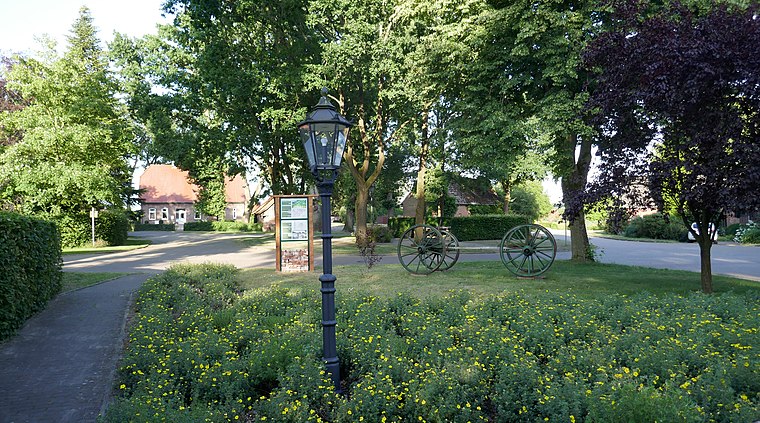

Kirchhatten
Village

Photo: Jacek79, CC BY-SA 3.0.
Kirchhatten is a village, which is situated 5 km north of Damke Gartengestaltung.
Damke Gartengestaltung
- Type: Gardener
- Address: Am Brink 4, Ostrittrum, Dötlingen, 27801
- Category: workshop
- Location: Dötlingen, Oldenburg, Lower Saxony, Germany, Central Europe, Europe
- View on OpenStreetMap
Latitude
52.97838° or 52° 58′ 42″ northLongitude
8.33884° or 8° 20′ 20″ eastOperator
Thomas DamkeOpen location code
9F4CX8HQ+9GOpenStreetMap ID
node 10298527234OpenStreetMap feature
craft=gardener
This page is based on OpenStreetMap, Wikidata, and Wikimedia Commons.
We’d love your help improving our open data sources. Thank you for contributing.
Satellite Map
Discover Damke Gartengestaltung from above in high-definition satellite imagery.
Notable Places Nearby
Highlights include Rittrumer Berge and Wild- und Freizeitpark Ostrittrum.
Nearby Places
Explore places such as Wendeplatz and Radwanderweg.
Lower Saxony: Must-Visit Destinations
Delve into Hanover, Göttingen, Brunswick, and Wolfsburg.
Curious Gardeners to Discover
Uncover intriguing gardeners from every corner of the globe.
About Mapcarta. Data © OpenStreetMap contributors and available under the Open Database License". Text is available under the CC BY-SA 4.0 license, except for photos, directions, and the map. Photo: Danapit, CC BY-SA 3.0.