SSG Biebergemünd 1969
SSG Biebergemünd 1969 is in Biebergemünd, Gelnhausen, Hesse. SSG Biebergemünd 1969 is situated nearby to Wirtheim cemetery, as well as near the apartment building Schloss Wirtheim.| Tap on a place to explore it |
Places of Interest Nearby
Highlights include St. Peter und Paul and Schloss Wirtheim.
St. Peter und Paul
Church

Photo: Tilman2007, CC BY-SA 4.0.
St. Peter und Paul is a church, which is situated 510 metres north of SSG Biebergemünd 1969.
Schloss Wirtheim
Apartment building

Photo: Tilman2007, CC BY-SA 4.0.
Schloss Wirtheim is an apartment building, which is situated 430 metres north of SSG Biebergemünd 1969.
Saint John of Nepomuk
Church

Photo: Didelu, CC BY-SA 3.0.
Saint John of Nepomuk is a church, which is situated 2 km southeast of SSG Biebergemünd 1969.
Places in the Area
Nearby places include Kassel (Biebergemünd) and Lanzingen.

Lanzingen
Village

Photo: Dr. Bernd Gross, CC BY-SA 3.0.
Lanzingen is a village, which is situated 4½ km south of SSG Biebergemünd 1969.
Bad Orb
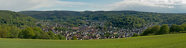
Photo: Milseburg, CC BY-SA 4.0.
Bad Orb is a spa town in North Hesse in the forested hills of the Spessart. Besides health facilities, there's an old town, remains of a medieval town wall, and hiking and biking trails.
SSG Biebergemünd 1969
- Type: Shooting sport
- Category: sports location
- Location: Biebergemünd, Gelnhausen, South Hesse, Hesse, Germany, Central Europe, Europe
- View on OpenStreetMap
Latitude
50.21869° or 50° 13′ 7″ northLongitude
9.26156° or 9° 15′ 42″ eastOpen location code
9F2F6796+FJOpenStreetMap ID
node 10303216718OpenStreetMap feature
sport=shooting
This page is based on OpenStreetMap, Wikidata, and Wikimedia Commons.
We’d love your help improving our open data sources. Thank you for contributing.
Satellite Map
Discover SSG Biebergemünd 1969 from above in high-definition satellite imagery.
Notable Places Nearby
Highlights include Wirtheim cemetery and TSV 09 Wirtheim.
Nearby Places
Explore places such as Katholische Kindertagesstätte ‘KOLIBRI’ and Grundschule Wirtheim.
South Hesse: Must-Visit Destinations
Delve into Darmstadt, Bensheim, Lorsch, and Heppenheim.
Curious Places to Discover
Uncover intriguing places from every corner of the globe.
About Mapcarta. Data © OpenStreetMap contributors and available under the Open Database License". Text is available under the CC BY-SA 4.0 license, except for photos, directions, and the map. Photo: Lumpeseggl, CC BY-SA 3.0.