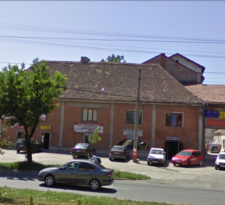
DENINSTAL
DENINSTAL is a hardware store in Arad, Crișana which is located on Calea Timișorii. DENINSTAL is situated nearby to the pitch Stadionul Motorul, as well as near the library Biblioteca Județeană Arad - Filiala Aradul Nou.| Tap on a place to explore it |
- Email: office@deninstal.ro
- Type: Hardware store
- Address: Calea Timișorii 61, Arad
Places of Interest Nearby
Highlights include Stadionul Motorul and Trajan bridge in Arad.
Stadionul Motorul
Pitch

Photo: Rhinen, CC BY-SA 4.0.
Motorul Stadium is a multi-use stadium in Arad, Romania. It is currently used mostly for football matches and is the home ground of UTA Arad Academy. The stadium holds 4000 people, has an electronic scoreboard, a small floodlight for training and also a secondary training pitch behind the west stand. Stadionul Motorul is situated 130 metres southwest of DENINSTAL.

Aradul Nou railway station
Railway station

Photo: Smiley.toerist, CC BY-SA 4.0.
Aradul Nou railway station is situated 1¼ km southeast of DENINSTAL.
Places in the Area
Nearby places include Aradul Nou and Alfa.
Alfa
Suburb

Photo: Teodor Stoica, CC0.
Alfa is a suburb, which is situated 2½ km northwest of DENINSTAL.
Arad
Suburb

Photo: Teodor Stoica, CC BY-SA 4.0.
Micălaca is a neighbourhood in the east of Arad, Romania, approximately 5 km from the city center. The Mureș River flows through the neighbourhood. It is the most populated neighbourhood in Arad, with a population of 50.000. Arad is situated 3½ km northeast of DENINSTAL.
DENINSTAL
- Category: shop
- Location: Arad, Arad County, Crișana, Romania, Balkans, Europe
- View on OpenStreetMap
Latitude
46.15269° or 46° 9′ 10″ northLongitude
21.32145° or 21° 19′ 17″ eastOpen location code
8GR3583C+3HOpenStreetMap ID
node 10314873074OpenStreetMap feature
shop=doityourself
This page is based on OpenStreetMap, Wikidata, and Wikimedia Commons.
We’d love your help improving our open data sources. Thank you for contributing.
Satellite Map
Discover DENINSTAL from above in high-definition satellite imagery.
Places with the Same Name
Discover other places named “DENINSTAL”.
Notable Places Nearby
Highlights include Biblioteca Județeană Arad - Filiala Aradul Nou and Biserica Catolică.
Nearby Places
Explore places such as MDA and Banca Transilvania.
Crișana: Must-Visit Destinations
Delve into Oradea, Zalău, Carei, and Ciucea.
Curious Hardware Stores to Discover
Uncover intriguing hardware stores from every corner of the globe.
About Mapcarta. Data © OpenStreetMap contributors and available under the Open Database License". Text is available under the CC BY-SA 4.0 license, except for photos, directions, and the map. Photo: Steschke, CC BY-SA 3.0 de.