Fort Gibraltar Trail
Fort Gibraltar Trail is a monitoring station in Manitoba, Prairies. Fort Gibraltar Trail is situated nearby to the marketplace The Forks Market, as well as near Phantom Amusement Arcade.| Tap on a place to explore it |
Places of Interest Nearby
Highlights include Fort Garry and Union Railway Station.
Fort Garry
Park

Photo: J Hazard, CC BY-SA 3.0.
Fort Garry, also known as Upper Fort Garry, was a Hudson's Bay Company trading post located at the confluence of the Red and Assiniboine rivers in or near the area now known as The Forks in what is now central Winnipeg, Manitoba. Fort Garry is situated 220 metres northwest of Fort Gibraltar Trail.
Union Railway Station
Railway station

Photo: Lee haber8, Public domain.
Union Station is the inter-city railway station for Winnipeg, Manitoba, Canada. It is a grand beaux-arts structure situated near The Forks in downtown Winnipeg, and was designated a National Historic Site of Canada in 1976. Union Railway Station is situated 300 metres northwest of Fort Gibraltar Trail.
Winnipeg Railway Museum
Museum

Photo: Intermedichbo, CC BY-SA 4.0.
The Winnipeg Railway Museum was a railway museum located on tracks 1 and 2 within the Via Rail-operated Union Station in Winnipeg, Manitoba, Canada. Volunteers from the Midwestern Rail Association Inc, a non-profit organization founded in 1975, operated the museum. Winnipeg Railway Museum is situated 290 metres north of Fort Gibraltar Trail.
Places in the Area
Nearby places include Downtown Winnipeg and Winnipeg.
Downtown Winnipeg
Suburb
 Downtown Winnipeg is an area of Winnipeg located near the confluence of the Red and Assiniboine rivers. It is the oldest urban area in Winnipeg, and is home to the city's commercial core, city hall, the seat of Manitoba's provincial government, and a number of major attractions and institutions.
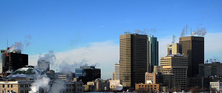
Winnipeg
 Winnipeg is Manitoba's capital and has more people than the rest of Manitoba combined. It stands midway on the Trans-Canada Highway and railway. With nearly 750,000 inhabitants, The Peg is the metropolis for the Canadian Prairies and is as diverse as the majority of Canada.
Exchange District
Neighborhood

Photo: Interlaker, CC0.
The Exchange District is a National Historic Site of Canada in the downtown area of Winnipeg, Manitoba, Canada. Just one block north of Portage and Main, the Exchange District comprises twenty city blocks and approximately 150 heritage buildings, and it is known for its intact early 20th century collection of warehouses, financial institutions, and early terracotta-clad skyscrapers.
Fort Gibraltar Trail
- Type: Monitoring station
- Location: Manitoba, Prairies, Canada, North America
- View on OpenStreetMap
Latitude
49.88653° or 49° 53′ 12″ northLongitude
-97.13253° or 97° 7′ 57″ westOpen location code
86X4VVP8+JXOpenStreetMap ID
node 10568204936OpenStreetMap feature
man_made=monitoring_station
This page is based on OpenStreetMap, Wikidata, and Wikimedia Commons.
We’d love your help improving our open data sources. Thank you for contributing.
Satellite Map
Discover Fort Gibraltar Trail from above in high-definition satellite imagery.
Notable Places Nearby
Highlights include The Forks Market and Phantom Amusement Arcade.
Nearby Places
Explore places such as Northbound Main at Assiniboine and Fergie’s.
Manitoba: Must-Visit Destinations
Delve into Winnipeg, Churchill, Brandon, and Thompson.
Curious Monitoring Stations to Discover
Uncover intriguing monitoring stations from every corner of the globe.
About Mapcarta. Data © OpenStreetMap contributors and available under the Open Database License". Text is available under the CC BY-SA 4.0 license, except for photos, directions, and the map. Photo: Wikimedia, CC0.