Pesells
Pesells is a peak in Horta de Sant Joan, Tarragona, Catalonia and has an elevation of 576 metres. Pesells is situated nearby to the locality Finca de Xulín, as well as near El Mas de les Monges.| Tap on a place to explore it |
Places of Interest
Highlights include Muntanya de Santa Bàrbara and Convent de Sant Salvador d’Horta.
Muntanya de Santa Bàrbara
Peak

Photo: Manel Zaera, CC BY-SA 2.0.
Muntanya de Santa Bàrbara is a mountain that is part of the northwestern foothills of the Ports de Tortosa-Beseit, Catalonia, Spain. It has an elevation of 751.3 metres above sea level.
Convent de Sant Salvador d’Horta
Church

Photo: Future75, CC BY-SA 3.0.
Convent de Sant Salvador d’Horta is a church.
Chapel of Sant Onofre (Horta de Sant Joan)
Church

Photo: Josepgesti, CC BY-SA 4.0.
Chapel of Sant Onofre (Horta de Sant Joan) is a church.
Places in the Area
Nearby places include Arens de Lledó and Lledó Municipality.
Arens de Lledó
Village

Photo: Carlosky, CC BY-SA 3.0 es.
Arens de Lledó or Arenys de Lledó is a municipality located in the Matarraña/Matarranya comarca, province of Teruel, Aragon, Spain. According to the 2008 census, the municipality has a population of 217 inhabitants, and covers an area of 34.27 square kilometres.
Lledó Municipality
Village

Photo: Enfo, CC BY-SA 3.0.
Lledó ( or Lledó d'Algars is a municipality located in the Matarraña/Matarranya comarca, province of Teruel, Aragon, Spain. According to the 2004 census, the municipality has a population of 191 inhabitants.
Bot Municipality
Village
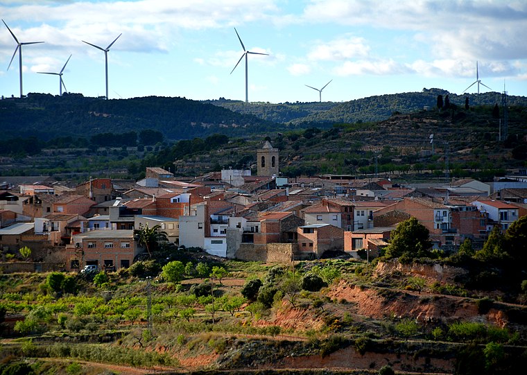
Photo: Wikimedia, CC BY-SA 2.0.
Bot is a town located in the comarca of Terra Alta, province of Tarragona, in Catalonia, Spain. It is located between the Serra de la Solsida and the Serra dels Pesells ranges.
Pesells
- Type: Peak with an elevation of 576 metres
- Description: mountain in Spain
- Categories: mountain and landform
- Location: Horta de Sant Joan, Tarragona, Catalonia, Eastern Spain, Spain, Iberia, Europe
- View on OpenStreetMap
Latitude
40.9918° or 40° 59′ 30″ northLongitude
0.3201° or 0° 19′ 12″ eastElevation
576 metres (1,890 feet)Open location code
8FG2X8RC+M2OpenStreetMap ID
node 10605961788OpenStreetMap feature
natural=peakWikidata ID
Q11941324
This page is based on OpenStreetMap, Wikidata, and Wikimedia Commons.
We’d love your help improving our open data sources. Thank you for contributing.
Satellite Map
Discover Pesells from above in high-definition satellite imagery.
In Other Languages
From Catalan to Ladin—“Pesells” goes by many names.
- Catalan: “Pesells”
- Dutch: “Pesells”
- Ladin: “Pesells”
Localities in the Area
Explore places such as Finca de Xulín and El Mas de les Monges.
Notable Places Nearby
Highlights include Collredó and Mas del Milionari.
Tarragona: Must-Visit Destinations
Delve into Tarragona, Reus, Tortosa, and Salou.
Curious Peaks to Discover
Uncover intriguing peaks from every corner of the globe.
About Mapcarta. Data © OpenStreetMap contributors and available under the Open Database License". Text is available under the CC BY-SA 4.0 license, except for photos, directions, and the map. Photo: Lluket, CC BY-SA 3.0.