Der Staat
Der Staat is a work of art in Zurich, Canton of Zurich. Der Staat is situated nearby to the government building Walchetor, as well as near the sports venue Gym Puzzle Professional.| Tap on a place to explore it |
Places of Interest Nearby
Highlights include Zurich Main Station and Seelöwenbrunnen.
Zurich Main Station
Railway station

Photo: Ikiwaner, CC BY-SA 3.0.
Zürich Hauptbahnhof, often shortened to Zürich HB or just HB, and known in English as Zurich Main Station, is the largest railway station in Switzerland and one of the busiest in Europe. Zurich Main Station is situated 310 metres west of Der Staat.
Seelöwenbrunnen
Fountain

Photo: Katja Hottingen, CC BY-SA 4.0.
Seelöwenbrunnen is a fountain, which is situated 150 metres north of Der Staat.

Places in the Area
Nearby places include Niederdorf and Schipfe.
Schipfe
Locality

Photo: Roland zh, CC BY-SA 3.0.
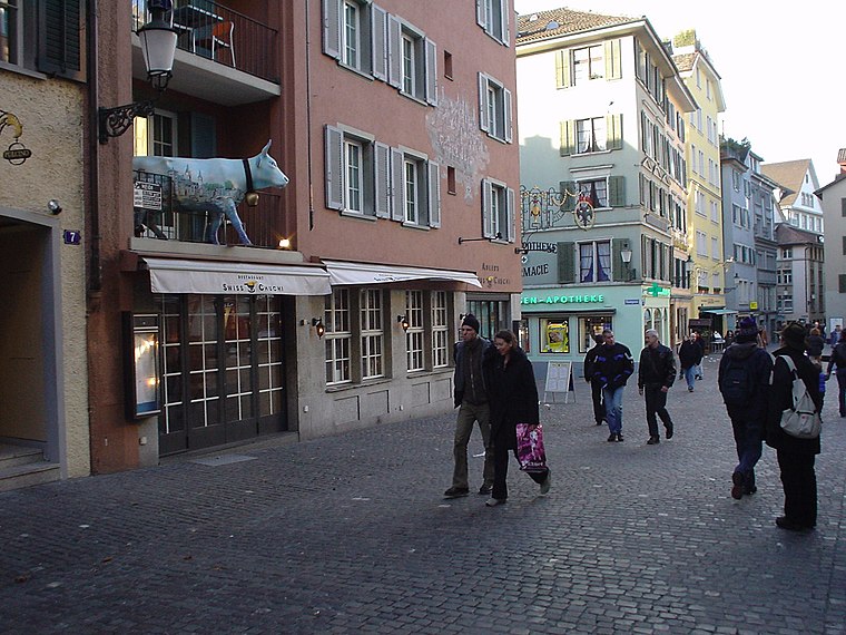
Schipfe is a residential district in Zurich, Switzerland, located on the eastern slope of the Lindenhof, one of the oldest parts of the Helvetii Oppidum Zurich-Lindenhof, by the river Limmat.
Altstadt
Suburb
The Altstadt in the Swiss city of Zurich encompasses the area of the entire historical city before 1893, before the incorporation of what are now districts 2 to 12 into the municipality, over the period 1893 to 1934.
Der Staat
- Type: Work of art
- Artwork_type: mural
- Category: tourism
- Location: Zurich, Zürich District, Canton of Zurich, Zurich, Switzerland, Central Europe, Europe
- View on OpenStreetMap
Latitude
47.37869° or 47° 22′ 43″ northLongitude
8.54333° or 8° 32′ 36″ eastInception
1934Open location code
8FVC9GHV+F8OpenStreetMap ID
node 10617876593OpenStreetMap feature
tourism=artworkOpenStreetMap attribute
artwork_type=mural
This page is based on OpenStreetMap, Wikidata, and Wikimedia Commons.
We’d love your help improving our open data sources. Thank you for contributing.
Satellite Map
Discover Der Staat from above in high-definition satellite imagery.
Notable Places Nearby
Highlights include Walchetor and Gym Puzzle Professional.
Nearby Places
Explore places such as Pfister and Walcheplatz.
Zurich: Must-Visit Destinations
Delve into Winterthur, Aarau, Zug, and Zurich Airport.
Curious Work Of Arts to Discover
Uncover intriguing work of arts from every corner of the globe.
About Mapcarta. Data © OpenStreetMap contributors and available under the Open Database License". Text is available under the CC BY-SA 4.0 license, except for photos, directions, and the map. Photo: ויקיג’אנקי, CC BY-SA 4.0.