V gozd po zdravje - Vaja 1
V gozd po zdravje - Vaja 1 is in Slovenia. V gozd po zdravje - Vaja 1 is situated nearby to the manor estate Grad Rakovnik, as well as near Don Bosko, Salezijanci.| Tap on a place to explore it |
Places of Interest Nearby
Highlights include Our Lady of Help Parish Church in Rakovnik and Ljubljana Castle.
Our Lady of Help Parish Church in Rakovnik
Church

Photo: Meho29, CC BY-SA 3.0.
Our Lady of Help Parish Church in Rakovnik is situated 220 metres southwest of V gozd po zdravje - Vaja 1.
Ljubljana Castle
Castle

Photo: LjGrad, CC BY-SA 4.0.
Ljubljana Castle is a castle complex standing on Castle Hill above downtown Ljubljana, the capital of Slovenia. It is a key landmark of the town. Originally a medieval fortress, it was probably constructed in the 11th century and rebuilt in the 12th century. Ljubljana Castle is situated 2 km northwest of V gozd po zdravje - Vaja 1.
Lubiana Rakovnik railway station
Railway station
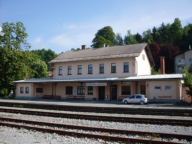
Photo: Ajznponar, CC BY-SA 3.0.
Lubiana Rakovnik railway station is situated 730 metres west of V gozd po zdravje - Vaja 1.
Places in the Area
Nearby places include Rudnik District and Štepanja Vas.
Rudnik District
Suburb
The Rudnik District, or simply Rudnik, is a district of the City Municipality of Ljubljana, the capital of Slovenia. It is named after the former village of Rudnik.
Štepanja Vas
Neighborhood
Štepanja Vas is a formerly independent settlement in the southeast part of the capital Ljubljana in central Slovenia. It belongs to the City Municipality of Ljubljana.

V gozd po zdravje - Vaja 1
- Type: Sign
- Categories: information and tourism
- Location: Slovenia, Central Europe, Europe
- View on OpenStreetMap
Latitude
46.03833° or 46° 2′ 18″ northLongitude
14.52804° or 14° 31′ 41″ eastOpen location code
8FRP2GQH+86OpenStreetMap ID
node 10673847309OpenStreetMap feature
tourism=information
This page is based on OpenStreetMap, Wikidata, and Wikimedia Commons.
We’d love your help improving our open data sources. Thank you for contributing.
Satellite Map
Discover V gozd po zdravje - Vaja 1 from above in high-definition satellite imagery.
Notable Places Nearby
Highlights include Don Bosko, Salezijanci and Grad Rakovnik.
Nearby Places
Explore places such as Gozdna pedagogika: Gozd in voda - nedeljiva celota and Golovec – Rakovnik.
Slovenia: Must-Visit Destinations
Delve into Ljubljana, Maribor, Koper, and Celje.
Curious Places to Discover
Uncover intriguing places from every corner of the globe.
About Mapcarta. Data © OpenStreetMap contributors and available under the Open Database License". Text is available under the CC BY-SA 4.0 license, except for photos, directions, and the map. Photo: Jjtkk, CC BY 3.0.