Gladstone Avenue
Gladstone Avenue is a tram stop in Old Toronto, Toronto, Ontario. Gladstone Avenue is situated nearby to the health club Power Yoga, as well as near the art gallery Cry Baby Gallery.| Tap on a place to explore it |
Places of Interest Nearby
Highlights include St. Anne’s Anglican Church and McCormick Park.
St. Anne’s Anglican Church
Church

Photo: SimonP, CC BY-SA 3.0.
St. Anne's Anglican Church was a historic Anglican parish church located in the Brockton Village neighbourhood of Toronto, Ontario. Established in 1862, the building, a National Historic Site of Canada, was constructed in 1907–1908 in the Byzantine Revival style, unique for an Anglican church. St. Anne’s Anglican Church is situated 140 metres northwest of Gladstone Avenue.
McCormick Park
Park
McCormick Park is a municipal park and recreational area at 66 Sheridan Avenue in the Brockton Village neighbourhood enclave of Little Portugal in Toronto, Ontario, Canada. McCormick Park is situated 420 metres southwest of Gladstone Avenue.
Centre for Addiction and Mental Health
Hospital

Photo: Nephron, CC BY-SA 3.0.
The Centre for Addiction and Mental Health is a psychiatric teaching hospital located in Toronto and ten community locations throughout the province of Ontario, Canada. Centre for Addiction and Mental Health is situated 1¼ km southeast of Gladstone Avenue.
Places in the Area
Nearby places include Dufferin Grove and West End.
Dufferin Grove
Neighborhood
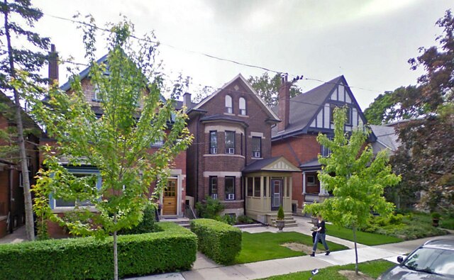
Photo: Anon1248, CC BY-SA 3.0.
Dufferin Grove is a neighbourhood located in Toronto, Ontario, Canada, west of downtown. The neighbourhood is bordered by Bloor Street West to the north, Ossington Ave to the east, College Street to the south, and Dufferin Street to the west.
West End

Photo: The City of Toronto, CC BY 2.0.
The West End of Toronto is bounded roughly by Bathurst St to the east, St Clair Avenue to the north, the Humber River to the west and Lake Ontario to the south.
Brockton Village
Neighborhood
Brockton is a former village, and now a neighbourhood in Toronto, Ontario, Canada. The neighbourhood comprises part of the historic village of Brockton, which was annexed by the City of Toronto in 1884.
Gladstone Avenue
- Type: Tram stop
- Categories: railway stop, transport stop, and transportation
- Location: Old Toronto, Toronto, Greater Toronto Area, Ontario, Canada, North America
- View on OpenStreetMap
Latitude
43.64959° or 43° 38′ 59″ northLongitude
-79.42963° or 79° 25′ 47″ westOperator
Toronto Transit CommissionNetwork
Toronto streetcar systemOpen location code
87M2JHXC+R4OpenStreetMap ID
node 10695669918OpenStreetMap feature
public_transport=stop_positionOpenStreetMap feature
railway=tram_stop
This page is based on OpenStreetMap, Wikidata, and Wikimedia Commons.
We’d love your help improving our open data sources. Thank you for contributing.
Satellite Map
Discover Gladstone Avenue from above in high-definition satellite imagery.
Places with the Same Name
Discover other places named “Gladstone Avenue”.
Notable Places Nearby
Highlights include Power Yoga and Cry Baby Gallery.
Nearby Places
Explore places such as Dr. Marria J. Suen & Dr. Clement Tse and Hawk & Chick.
Toronto: Must-Visit Destinations
Delve into Yorkville and the Annex, Midtown, East End, and Downtown East.
Curious Tram Stops to Discover
Uncover intriguing tram stops from every corner of the globe.
About Mapcarta. Data © OpenStreetMap contributors and available under the Open Database License". Text is available under the CC BY-SA 4.0 license, except for photos, directions, and the map. Photo: S23678, CC BY-SA 3.0.