Waffenmuseum Suhl
Waffenmuseum Suhl is a museum in Suhl, Thuringia. Waffenmuseum Suhl is situated nearby to the bridge Freundsbrücke, as well as near the pond Herrenteich.| Tap on a place to explore it |
- Opening hours: 10:00 AM—6:00 PM
- Type: Museum
- Description: museum in Germany
- Wheelchair access: yes
Places of Interest Nearby
Highlights include Congress Centrum Suhl and Lauterbogen-Center.
Congress Centrum Suhl
Convention center
 Congress Centrum Suhl is a convention center, which is situated 110 metres west of Waffenmuseum Suhl.
Lauterbogen-Center
Shopping center

Photo: Strubbl, CC BY-SA 4.0.
Lauterbogen-Center is a shopping center.
Fahrzeugmuseum Suhl
Museum

Photo: Strubbl, CC BY-SA 4.0.
Fahrzeugmuseum Suhl is situated 160 metres west of Waffenmuseum Suhl.
Places in the Area
Nearby places include Lauter and Heinrichs.

Heinrichs
Suburb
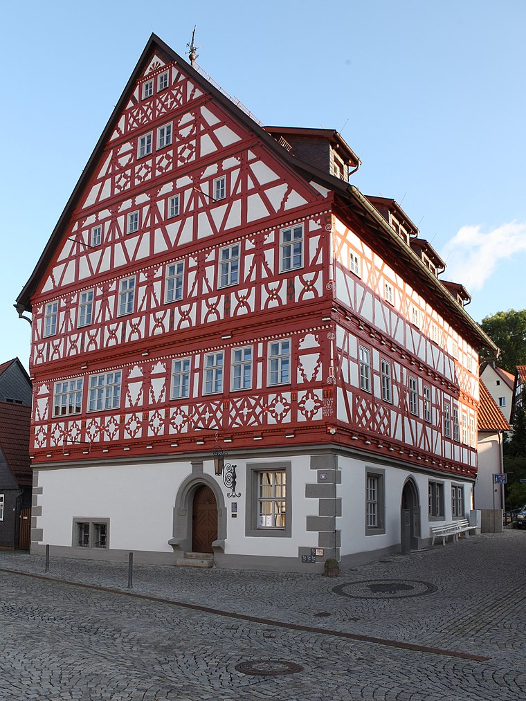
Photo: Störfix, CC BY-SA 3.0 de.
Heinrichs is a suburb, which is situated 2½ km southwest of Waffenmuseum Suhl.
Albrechts
Village

Photo: Störfix, CC BY-SA 3.0 de.
Albrechts is a village, which is situated 3½ km west of Waffenmuseum Suhl.
Waffenmuseum Suhl
- Categories: tourism and tourist attraction
- Location: Suhl, Thuringia, Germany, Central Europe, Europe
- View on OpenStreetMap
Latitude
50.61023° or 50° 36′ 37″ northLongitude
10.68947° or 10° 41′ 22″ eastOpen location code
9F2GJM6Q+3QOpenStreetMap ID
node 10732305087OpenStreetMap feature
tourism=museumOpenStreetMap attribute
wheelchair=yesWikidata ID
Q2538899
This page is based on OpenStreetMap, Wikidata, and Wikimedia Commons.
We’d love your help improving our open data sources. Thank you for contributing.
Satellite Map
Discover Waffenmuseum Suhl from above in high-definition satellite imagery.
In Other Languages
From Dutch to German—“Waffenmuseum Suhl” goes by many names.
- Dutch: “Waffenmuseum Suhl”
- Esperanto: “Muzeo pri armiloj”
- German: “Waffenmuseum Suhl”
Notable Places Nearby
Highlights include Freundsbrücke and Herrenteich.
Nearby Places
Explore places such as Herbert König and Die Büch’s.
Curious Museums to Discover
Uncover intriguing museums from every corner of the globe.
About Mapcarta. Data © OpenStreetMap contributors and available under the Open Database License". Text is available under the CC BY-SA 4.0 license, except for photos, directions, and the map. Photo: A.Savin, FAL.