La dalle à l’oiseau
La dalle à l’oiseau is a climbing site in Cap-d’Ail, Arrondissement of Nice, Provence-Alpes-Côte d’Azur. La dalle à l’oiseau is situated nearby to the climbing site Les Surplombs, as well as near La Haine.| Tap on a place to explore it |
Places of Interest Nearby
Highlights include Tête de Chien and Stade Louis II.
Tête de Chien
Peak

Photo: DarioSpagnolo, CC BY-SA 1.0.
The Tête de Chien is a 550 m high rock promontory near the village of La Turbie in the Alpes-Maritimes department of France. It overlooks the Principality of Monaco, and is the highest point on the Grande Corniche road.
Stade Louis II
Stadium

Photo: Валерий Дед, CC BY 3.0.
The Stade Louis II, or simply Louis II is a stadium located in the Fontvieille district of Monaco, near the border with Cap-d'Ail commune of France. It serves primarily as a venue for Athletics and football, being the home of AS Monaco. Stade Louis II is situated 1½ km east of La dalle à l’oiseau.
Princess Grace Hospital
Hospital
The Princess Grace Hospital Centre, named after Grace Kelly, is the only public hospital in Monaco. Princess Grace Hospital is situated 1 km east of La dalle à l’oiseau.
Places in the Area
Nearby places include Jardin Exotique and Fontvieille.
Jardin Exotique
Suburb

Photo: Rado Bahna, Public domain.
Jardin Exotique is the westernmost ward in the Principality of Monaco. It is incorporated in the traditional quarter of La Condamine. Jardin Exotique ward was created in 2013, from the Les Révoires and La Colle wards, as part of an overall re-redistricting at that time.
Fontvieille
Suburb
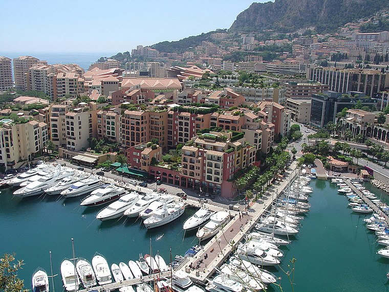
Photo: Wikimedia, Copyrighted free use.
Fontvieille is the southernmost district of the Principality of Monaco. The district was designed by architect Manfredi Nicoletti and developed under the direction of Italian engineer Gianfranco Gilardini between the 1970s and 1990s.
Les Moneghetti
Suburb

Photo: Timothy Titus, CC BY-SA 3.0.
Les Moneghetti is the north-central ward in the Principality of Monaco, bordering neighboring France. Moneghetti was incorporated in La Condamine.
La dalle à l’oiseau
- Type: Climbing site
- Category: sports location
- Location: Cap-d’Ail, Arrondissement of Nice, Alpes-Maritimes, Provence-Alpes-Côte d’Azur, France, Europe
- View on OpenStreetMap
Latitude
43.73026° or 43° 43′ 49″ northLongitude
7.39866° or 7° 23′ 55″ eastOpen location code
8FM9P9JX+4FOpenStreetMap ID
node 10760856893OpenStreetMap feature
sport=climbing
This page is based on OpenStreetMap, Wikidata, and Wikimedia Commons.
We’d love your help improving our open data sources. Thank you for contributing.
Satellite Map
Discover La dalle à l’oiseau from above in high-definition satellite imagery.
Notable Places Nearby
Highlights include Les Surplombs and La Haine.
Nearby Places
Explore places such as Orange Labs La Turbie and Les Cistes.
Alpes-Maritimes: Must-Visit Destinations
Delve into Nice, Cannes, Antibes, and Menton.
Curious Climbing Sites to Discover
Uncover intriguing climbing sites from every corner of the globe.
About Mapcarta. Data © OpenStreetMap contributors and available under the Open Database License". Text is available under the CC BY-SA 4.0 license, except for photos, directions, and the map. Photo: Myrabella, CC BY-SA 3.0.