Praxis für Anästhesie
Praxis für Anästhesie is a doctor’s office in Magdeburg, Landeshauptstadt, Magdeburg, Saxony-Anhalt. Praxis für Anästhesie is situated nearby to the recreation area Hofcafé, as well as near the church Sankt-Sebastian-Kirche (Lemsdorf).| Tap on a place to explore it |
Places of Interest Nearby
Highlights include Sankt-Sebastian-Kirche (Lemsdorf) and Heinrich Germer Stadium.
Sankt-Sebastian-Kirche (Lemsdorf)
Church

Photo: Muggmag, Public domain.
Sankt-Sebastian-Kirche (Lemsdorf) is a church, which is situated 180 metres southeast of Praxis für Anästhesie.
Heinrich Germer Stadium
Sports venue

Photo: Wikimedia, CC BY-SA 3.0 de.
The Heinrich Germer Stadium is a stadium in the Magdeburg quarter of Sudenburg that is mostly used for hosting association football matches. It was built in 1920 and named Stadion am Königsweg. Heinrich Germer Stadium is situated 1 km north of Praxis für Anästhesie.
University Hospital Magdeburg
Hospital

Photo: Bildersindtoll, CC BY-SA 4.0.
University Hospital Magdeburg is situated 1¼ km east of Praxis für Anästhesie.
Places in the Area
Nearby places include Siedlung Cracau and Friedensweiler.
Siedlung Cracau
Neighborhood

Photo: Ariadacapo, CC BY 4.0.
Siedlung Cracau is a neighborhood, which is situated 5 km northeast of Praxis für Anästhesie.
Friedensweiler
Neighborhood

Photo: Olaf2, CC BY-SA 3.0.
Friedensweiler is a neighborhood, which is situated 9 km northeast of Praxis für Anästhesie.
Buch
Hamlet
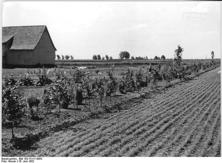
Photo: Wilhelm Biscan, CC BY-SA 3.0 de.
Buch is a hamlet, which is situated 9 km southwest of Praxis für Anästhesie.
Praxis für Anästhesie
- Type: Doctor’s office
- Category: health care
- Location: Magdeburg, Landeshauptstadt, Magdeburg, Saxony-Anhalt, Germany, Central Europe, Europe
- View on OpenStreetMap
Latitude
52.09866° or 52° 5′ 55″ northLongitude
11.59668° or 11° 35′ 48″ eastOpen location code
9F4H3HXW+FMOpenStreetMap ID
node 10816309685OpenStreetMap feature
amenity=doctorsOpenStreetMap feature
healthcare=doctor
This page is based on OpenStreetMap, Wikidata, and Wikimedia Commons.
We’d love your help improving our open data sources. Thank you for contributing.
Satellite Map
Discover Praxis für Anästhesie from above in high-definition satellite imagery.
Notable Places Nearby
Highlights include Hofcafé and BBZ Handwerk.
Nearby Places
Explore places such as Haus Move Umzüge and Eiscafé Eisbrecher.
Saxony-Anhalt: Must-Visit Destinations
Delve into Halle, Wittenberg, Quedlinburg, and Eisleben.
Curious Doctor’s Offices to Discover
Uncover intriguing doctor’s offices from every corner of the globe.
About Mapcarta. Data © OpenStreetMap contributors and available under the Open Database License". Text is available under the CC BY-SA 4.0 license, except for photos, directions, and the map. Photo: diwan, CC BY 2.0.