Bor, zámek
Bor, zámek is a shelter in Bor, Tachov District, Plzeň Region. Bor, zámek is situated nearby to the church Loreto chapel in Bor, as well as near the public building Castle Bor.| Tap on a place to explore it |
Places of Interest Nearby
Highlights include Loreto chapel in Bor and Castle Bor.

Castle Bor
Public building

Photo: VitVit, CC BY-SA 4.0.
Castle Bor is a public building, which is situated 150 metres northwest of Bor, zámek.
Zámecký rybník
Pond

Photo: MiPi, CC BY-SA 4.0.
Zámecký rybník is a pond, which is situated 190 metres northwest of Bor, zámek.
Places in the Area
Nearby places include Bor and Vysočany.
Bor
Town

Photo: MiPi, CC BY-SA 3.0.
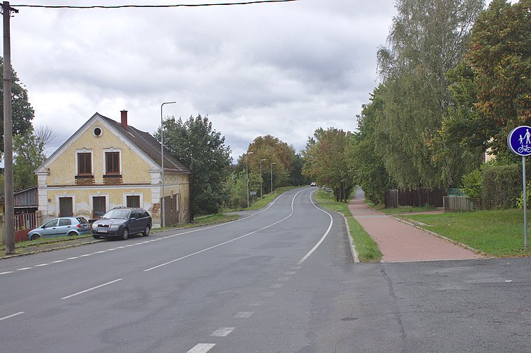
Bor is a town in Tachov District in the Plzeň Region of the Czech Republic. It has about 4,900 inhabitants. The historic town centre is well preserved and is protected as an urban monument zone.
Skviřín
Village

Photo: Tomáš Valenta, CC BY-SA 4.0.
Skviřín is a village, which is situated 2½ km east of Bor, zámek.
Bor, zámek
- Type: Shelter
- Location: Bor, Tachov District, Plzeň Region, Czech Republic, Central Europe, Europe
- View on OpenStreetMap
Latitude
49.7087° or 49° 42′ 31″ northLongitude
12.77833° or 12° 46′ 42″ eastOpen location code
8FXJPQ5H+F8OpenStreetMap ID
node 10824307583OpenStreetMap feature
amenity=shelterOpenStreetMap feature
public_transport=platform
This page is based on OpenStreetMap, Wikidata, and Wikimedia Commons.
We’d love your help improving our open data sources. Thank you for contributing.
Satellite Map
Discover Bor, zámek from above in high-definition satellite imagery.
Notable Places Nearby
Highlights include Městský úřad and Bor u Tachova.
Nearby Places
Explore places such as Bor, zámek and Zámek Bor.
Czech Republic: Must-Visit Destinations
Delve into Prague, Brno, Pilsen, and Ostrava.
Curious Shelters to Discover
Uncover intriguing shelters from every corner of the globe.
About Mapcarta. Data © OpenStreetMap contributors and available under the Open Database License". Text is available under the CC BY-SA 4.0 license, except for photos, directions, and the map. Photo: john mcsporran, CC BY 2.0.