Caf - le Havre
Caf - le Havre is a government office in Le Havre, Seine-Maritime, Normandy which is located on Chaussée du 24e Territorial. Caf - le Havre is situated nearby to the government office URSSAF Normandie, as well as near Douanes.| Tap on a place to explore it |
- Type: Government office
- Also known as: “Caisse d’allocations familiales (Caf) de Seine-Maritime - accueil de Bolbec”
- Address: 207 Chaussée du 24e Territorial, Le Havre, 76600
- Wheelchair access: yes
Places of Interest Nearby
Highlights include Le Portique and Docks Vauban.
Le Portique
Arts center

Photo: Wikimedia, CC BY-SA 3.0.
Le Portique is an arts center, which is situated 490 metres northwest of Caf - le Havre.
Docks Vauban
Shopping center
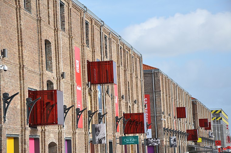
Photo: Wikimedia, CC BY-SA 4.0.
Docks Vauban is a shopping center, which is situated 570 metres east of Caf - le Havre.
Places in the Area
Nearby places include Montivilliers and Vasouy.
Montivilliers
Town

Photo: Wikimedia, CC BY-SA 3.0.
Montivilliers is a commune in the Seine-Maritime department in the Normandy region in northern France. Montivilliers is situated 8 km northeast of Caf - le Havre.
Vasouy
Hamlet

Photo: Pymouss, CC BY-SA 3.0.
Vasouy is a hamlet, which is situated 10 km southeast of Caf - le Havre.
Caf - le Havre
- Categories: office and government building
- Location: Le Havre, Arrondissement of Le Havre, Seine-Maritime, Normandy, France, Europe
- View on OpenStreetMap
Latitude
49.49081° or 49° 29′ 27″ northLongitude
0.12216° or 0° 7′ 20″ eastOperator
Caisse d’allocations familialesOpen location code
8FX2F4RC+8VOpenStreetMap ID
node 10868106039OpenStreetMap feature
office=governmentOpenStreetMap attribute
wheelchair=yes
This page is based on OpenStreetMap, Wikidata, and Wikimedia Commons.
We’d love your help improving our open data sources. Thank you for contributing.
Satellite Map
Discover Caf - le Havre from above in high-definition satellite imagery.
Notable Places Nearby
Highlights include URSSAF Normandie and Douanes.
Nearby Places
Explore places such as France 3 Normandie and Bouygues Immobilier.
Normandy: Must-Visit Destinations
Delve into Orne, Rouen, Seine-Maritime, and Caen.
Curious Government Offices to Discover
Uncover intriguing government offices from every corner of the globe.
About Mapcarta. Data © OpenStreetMap contributors and available under the Open Database License". Text is available under the CC BY-SA 4.0 license, except for photos, directions, and the map. Photo: Palamède, CC BY-SA 3.0.