Kiesgrube Escherholz
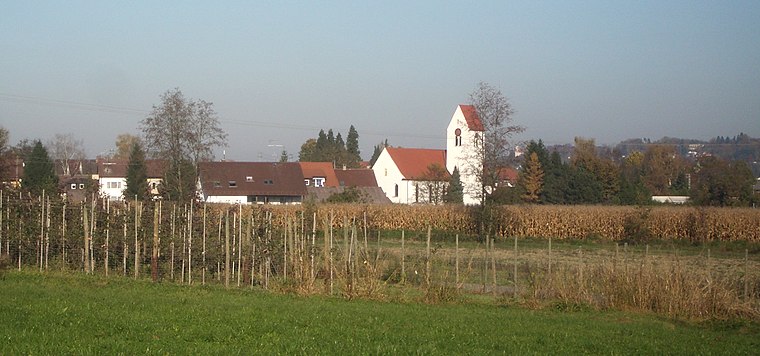
Kiesgrube Escherholz is in Ravensburg, Tübingen Region, Baden-Württemberg. Kiesgrube Escherholz is situated nearby to the church Pfarrkirche St. Johannes Baptist, as well as near the playground Kinderspielplatz.| Tap on a place to explore it |
Places of Interest Nearby
Highlights include Kapelle St. Georg and Boundary stone.
Kapelle St. Georg
Chapel
 Kapelle St. Georg is a chapel, which is situated 1 km northwest of Kiesgrube Escherholz.
Boundary stone
Memorial

Photo: DerNurNochAlsBilderlieferantMitmacht, CC0.
A boundary marker, border marker, boundary stone, or border stone is a robust physical marker that identifies the start of a land boundary or the change in a boundary, especially a change in direction of a boundary. Boundary stone is situated 2½ km southeast of Kiesgrube Escherholz.
Kemmerlanger Moos
Nature reserve

Photo: Manfred Walser, CC BY-SA 4.0.
Kemmerlanger Moos is a nature reserve, which is situated 2½ km northeast of Kiesgrube Escherholz.
Places in the Area
Nearby places include Oberhofen and Liebenau.


Kiesgrube Escherholz
- Type: Rock
- Category: landform
- Location: Ravensburg, Ravensburg, Tübingen Region, Bodensee Region, Baden-Württemberg, Germany, Central Europe, Europe
- View on OpenStreetMap
Latitude
47.72623° or 47° 43′ 34″ northLongitude
9.60277° or 9° 36′ 10″ eastOpen location code
8FVFPJG3+F4OpenStreetMap ID
node 10969193408OpenStreetMap feature
natural=rock
This page is based on OpenStreetMap, Wikidata, and Wikimedia Commons.
We’d love your help improving our open data sources. Thank you for contributing.
Satellite Map
Discover Kiesgrube Escherholz from above in high-definition satellite imagery.
Notable Places Nearby
Highlights include Pfarrkirche St. Johannes Baptist and Kinderspielplatz.
Nearby Places
Explore places such as Ravensburg, Obereschach Herrengut and Ravensburg, Obereschach Herrengut.
Bodensee Region: Must-Visit Destinations
Delve into Konstanz, Friedrichshafen, Sigmaringen, and Überlingen.
Curious Places to Discover
Uncover intriguing places from every corner of the globe.
About Mapcarta. Data © OpenStreetMap contributors and available under the Open Database License". Text is available under the CC BY-SA 4.0 license, except for photos, directions, and the map. Photo: Wikimedia, CC BY 3.0.