Gstanshütte Jehle Otto
Gstanshütte Jehle Otto is a cabin in St. Anton, Landeck, Tyrol. Gstanshütte Jehle Otto is situated nearby to the peak Kapall, as well as near the forest Herrenwald.| Tap on a place to explore it |
Places of Interest Nearby
Highlights include Kapall and Burg Arlen.

Burg Arlen
Archaeological site
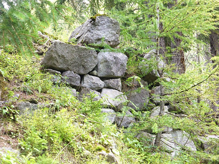
Photo: Wikimedia, CC BY-SA 3.0.
Burg Arlen is an archaeological site, which is situated 1½ km east of Gstanshütte Jehle Otto.

Places in the Area
Nearby places include St. Christoph and Stuben am Arlberg.
St. Christoph

Photo: Wikimedia, CC BY-SA 4.0.
St. Christoph am Arlberg is, at 1793 m above sea level, one of the highest ski resorts in Austria. It's in the upper part of the Stanzer Valley of Northwest Tyrol, bordering Vorarlberg.
Stuben am Arlberg
Village

Photo: Wikimedia, CC BY-SA 2.5.
Stuben am Arlberg is a winter sports resort in the town of Klösterle in the westernmost Austrian province of Vorarlberg. It is located at an altitude of 1,410 meters and had 90 inhabitants. Stuben am Arlberg is situated 7 km west of Gstanshütte Jehle Otto.
Zürs
Village

Photo: Wikimedia, CC BY-SA 3.0.
Zürs is one of the most renowned winter sports resorts in the Alps. Located in the westernmost Austrian state of Vorarlberg, almost directly on the border to North Tyrol, near the Flexenpass, Zürs is part of the Arlberg region, which also includes Lech, Oberlech, Zug, and Stubenbach. Zürs is situated 8 km west of Gstanshütte Jehle Otto.
Gstanshütte Jehle Otto
- Type: Cabin
- Address: St Anton/Arlberg
- Categories: building and residential building
- Location: St. Anton, Landeck, Tyrol, Austria, Central Europe, Europe
- View on OpenStreetMap
Latitude
47.14501° or 47° 8′ 42″ northLongitude
10.25647° or 10° 15′ 23″ eastOpen location code
8FVG47W4+2HOpenStreetMap ID
node 10978376989OpenStreetMap feature
building=cabin
This page is based on OpenStreetMap, Wikidata, and Wikimedia Commons.
We’d love your help improving our open data sources. Thank you for contributing.
Satellite Map
Discover Gstanshütte Jehle Otto from above in high-definition satellite imagery.
Notable Places Nearby
Highlights include Herrenwald and Golfclub Arlberg.
Nearby Places
Explore places such as Schöngrabenlift and Kapall Restaurant.
Tyrol: Must-Visit Destinations
Delve into Innsbruck, Kufstein, Lienz, and Kitzbühel.
Curious Cabins to Discover
Uncover intriguing cabins from every corner of the globe.
About Mapcarta. Data © OpenStreetMap contributors and available under the Open Database License". Text is available under the CC BY-SA 4.0 license, except for photos, directions, and the map. Photo: Pgjansson, CC BY-SA 3.0.