Serre Doumenge
Serre Doumenge is an aerial lift in Gouaux-de-Larboust, Arrondissement of Saint-Gaudens, Occitanie. Serre Doumenge is situated nearby to the peak Cap de Soulas, as well as near the pond Petite Laquette Pélude.| Tap on a place to explore it |
Places of Interest Nearby
Highlights include Col de Peyresourde and Peyresourde - Balestas Airport.
Col de Peyresourde
Mountain saddle
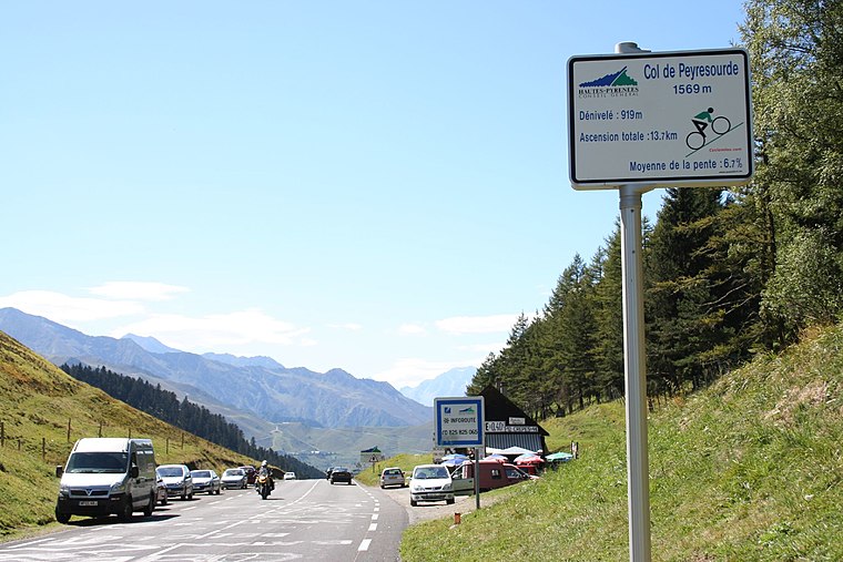
Photo: Andy Hawkins, CC BY-SA 2.0.
The Col de Peyresourde is a mountain pass in the central Pyrenees on the border of the department of Haute-Garonne and Hautes-Pyrénées in France. It is situated on the D618 road between Bagnères-de-Luchon and Arreau. Col de Peyresourde is situated 3 km north of Serre Doumenge.
Peyresourde - Balestas Airport
Aerodrome
 Peyresourde - Balestas Airport is an aerodrome, which is situated 3½ km northwest of Serre Doumenge.
Église Saint-Exupère de Gouaux-de-Larboust
Church

Photo: Cantepien, CC BY-SA 4.0.
Église Saint-Exupère de Gouaux-de-Larboust is a church, which is situated 2½ km northeast of Serre Doumenge.
Places in the Area
Nearby places include Germ and Portet-de-Luchon.
Germ
Village

Photo: Sotos, CC BY-SA 4.0.
Germ is a commune in the Hautes-Pyrénées department in south-western France. Germ is situated 4 km northwest of Serre Doumenge.
Portet-de-Luchon
Village

Photo: Wikimedia, CC BY-SA 3.0.
Portet-de-Luchon is a commune in the Haute-Garonne department in southwestern France. Portet-de-Luchon is situated 4½ km north of Serre Doumenge.
Poubeau
Village

Photo: Père Igor, CC BY-SA 3.0.
Poubeau is a commune in the Haute-Garonne department in southwestern France. Poubeau is situated 5 km northeast of Serre Doumenge.
Serre Doumenge
- Type: Aerial lift
- Categories: station and transportation
- Location: Gouaux-de-Larboust, Arrondissement of Saint-Gaudens, Haute-Garonne, Occitanie, France, Europe
- View on OpenStreetMap
Latitude
42.77506° or 42° 46′ 30″ northLongitude
0.47045° or 0° 28′ 14″ eastOpen location code
8FJ2QFGC+25OpenStreetMap ID
node 1102739252OpenStreetMap feature
aerialway=stationOpenStreetMap feature
public_transport=station
This page is based on OpenStreetMap, Wikidata, and Wikimedia Commons.
We’d love your help improving our open data sources. Thank you for contributing.
Satellite Map
Discover Serre Doumenge from above in high-definition satellite imagery.
Places with the Same Name
Discover other places named “Serre Doumenge”.
Notable Places Nearby
Highlights include Cap de Soulas and Petite Laquette Pélude.
Nearby Places
Explore places such as Cabane Montmedan and Soulas.
Haute-Garonne: Must-Visit Destinations
Delve into Toulouse, Boutx, Tarn, and Roquesérière.
Curious Aerial Lifts to Discover
Uncover intriguing aerial lifts from every corner of the globe.
About Mapcarta. Data © OpenStreetMap contributors and available under the Open Database License". Text is available under the CC BY-SA 4.0 license, except for photos, directions, and the map. Photo: Kulmalukko, CC BY-SA 3.0.