Alimentació Herrera
Alimentació Herrera is a convenience store in Horta-Guinardó, Barcelona, Catalonia which is located on Avinguda de Can Baró. Alimentació Herrera is situated nearby to the neighborhood Can Baró, as well as near the community center Casal de Barri El Pirineu.| Tap on a place to explore it |
Places of Interest Nearby
Highlights include Park Güell and Hospital de Sant Pau.
Park Güell
Park
 Park Güell is a complex of parks and gardens in Barcelona with architectural elements, located in the La Salut neighborhood of the Gràcia district in Barcelona, Catalonia, Spain.
Hospital de Sant Pau
Hospital

Photo: Matinibz, CC BY-SA 3.0.
The former Hospital de la Santa Creu i Sant Pau in the neighborhood of El Guinardó, Barcelona, Catalonia, Spain, is a complex built between 1901 and 1930. Hospital de Sant Pau is situated 1 km east of Alimentació Herrera.
Turó de la Rovira
Peak

Photo: Toniher, CC BY-SA 3.0.
Turó de la Rovira is a hill overlooking Barcelona with an altitude of 262m. It has been continually occupied, in one form or another, from the Iberian era to present.
Places in the Area
Nearby places include Can Baró and El Baix Guinardó.
Can Baró
Neighborhood
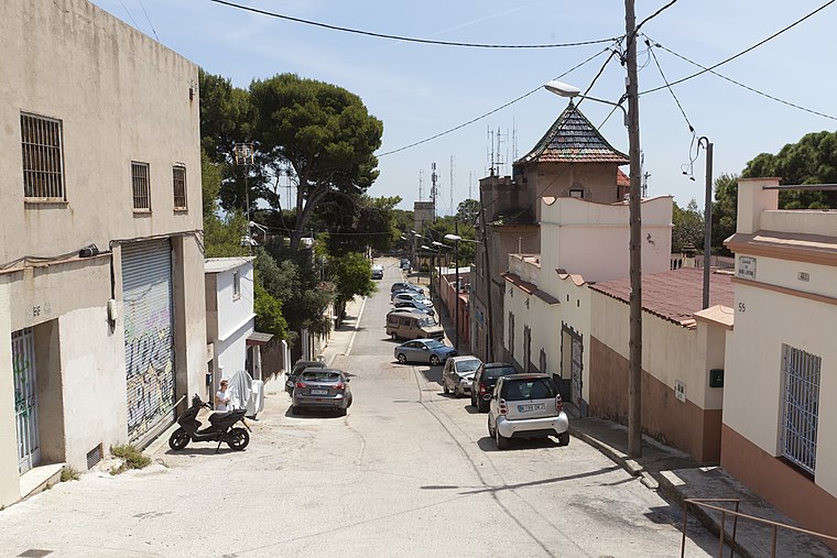
Photo: Wikimedia, CC BY-SA 3.0.
Can Baró is a neighborhood in the Horta-Guinardó district of Barcelona, Catalonia. It is home to the Turó de la Rovira Museum of the History of Barcelona heritage site, where anti-aircraft batteries were stationed during the Spanish Civil War.
El Baix Guinardó
Neighborhood
Photo: KRLS, CC BY-SA 3.0.
El Baix Guinardó is a neighborhood in the Horta-Guinardó district of Barcelona, Catalonia.
El Carmel
Quarter

Photo: Wikimedia, CC BY-SA 3.0.
El Carmel, or simply Carmel, is a neighbourhood in the district of Horta-Guinardó, in Barcelona, Catalonia, Spain. Carmel is in the municipal district of Horta-Guinardó.
Alimentació Herrera
- Type: Convenience store
- Address: Avinguda de Can Baró 29
- Categories: shop and food
- Location: Horta-Guinardó, Barcelona, Barcelona, Catalonia, Eastern Spain, Spain, Iberia, Europe
- View on OpenStreetMap
Latitude
41.41605° or 41° 24′ 58″ northLongitude
2.16175° or 2° 9′ 42″ eastOpen location code
8FH4C586+CMOpenStreetMap ID
node 11028063351OpenStreetMap feature
shop=convenience
This page is based on OpenStreetMap, Wikidata, and Wikimedia Commons.
We’d love your help improving our open data sources. Thank you for contributing.
Satellite Map
Discover Alimentació Herrera from above in high-definition satellite imagery.
Notable Places Nearby
Highlights include Plaça de Can Baró and Casal de Barri El Pirineu.
Nearby Places
Explore places such as Pl Can Baró and Acis-Artur Martorell.
Barcelona: Must-Visit Destinations
Delve into Ciutat Vella, Eixample, Gràcia, and Sants-Montjuïc.
Curious Convenience Stores to Discover
Uncover intriguing convenience stores from every corner of the globe.
About Mapcarta. Data © OpenStreetMap contributors and available under the Open Database License". Text is available under the CC BY-SA 4.0 license, except for photos, directions, and the map. Photo: phyrephox, CC BY-SA 2.0.