Gaia (Mucava)
Gaia (Mucava) is a bus stop in Santa Marinha e São Pedro da Afurada, Vila Nova de Gaia, Porto District. Gaia (Mucava) is situated nearby to the park Jardim do Morro, as well as near the railway station General Torres station.| Tap on a place to explore it |
Places of Interest Nearby
Highlights include Jardim do Morro and Dom Luís I Bridge.
Jardim do Morro
Park
 Jardim do Morro is a park, which is situated 170 metres northwest of Gaia (Mucava).
Dom Luís I Bridge
Bridge

Photo: Wikimedia, CC BY-SA 3.0.
The Luiz I Bridge, commonly known as Dom Luís I Bridge, is a double-deck metal arch bridge that spans the river Douro between the cities of Porto and Vila Nova de Gaia in Portugal. Dom Luís I Bridge is situated 480 metres north of Gaia (Mucava).
Jardim do Morro station
Railway station

Photo: Ymblanter, CC BY-SA 4.0.
Jardim do Morro is a light rail station on line D of the Porto Metro system in Vila Nova de Gaia, Portugal. It is situated on the Avenida da República immediately to the south of the upper level of the Dom Luís I Bridge, which the trains use to cross over the Douro river from Porto. Jardim do Morro station is situated 200 metres north of Gaia (Mucava).
Places in the Area
Nearby places include Encosta dos Guindais and Ribeira.
Encosta dos Guindais
Neighborhood

Photo: Wikimedia, CC BY-SA 3.0.
Encosta dos Guindais is a neighborhood.

Sé
Neighborhood
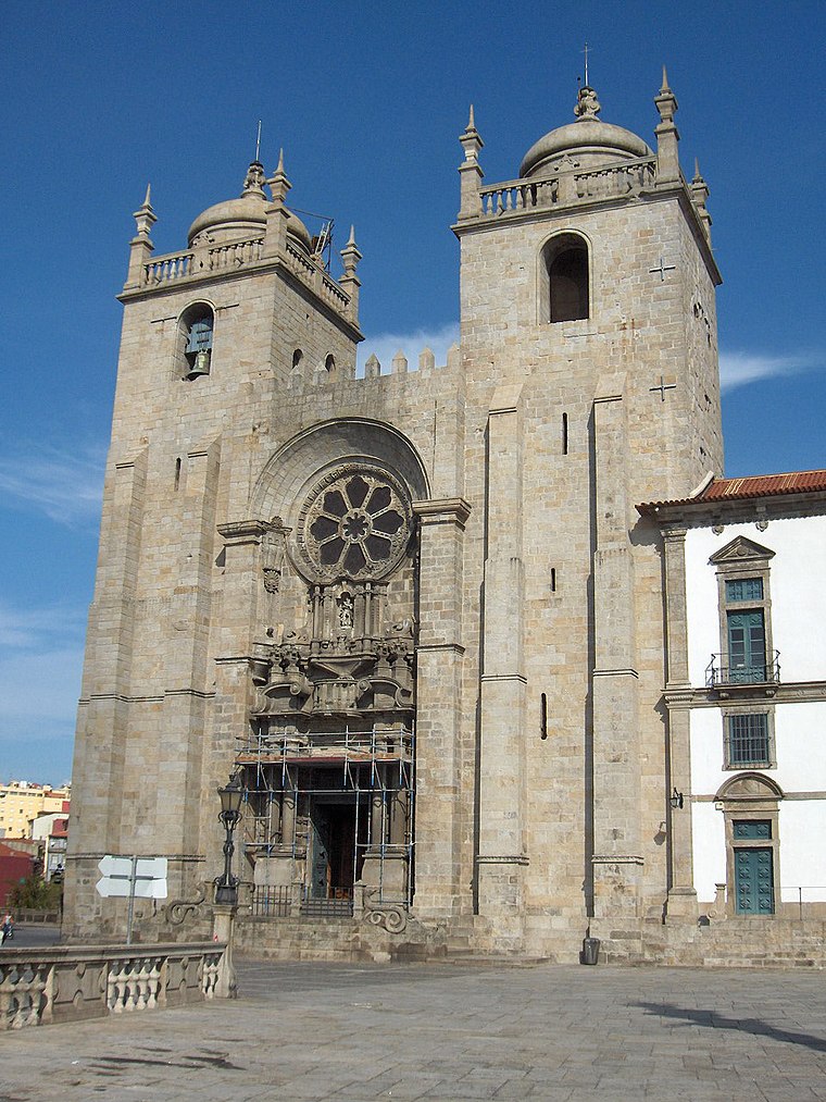 Sé is a former civil parish in the municipality of Porto, Portugal. In 2013, the parish merged into the new parish Cedofeita, Santo Ildefonso, Sé, Miragaia, São Nicolau e Vitória.
Gaia (Mucava)
- Type: Bus stop
- Category: transportation
- Location: Santa Marinha e São Pedro da Afurada, Vila Nova de Gaia, Porto District, Portugal, Iberia, Europe
- View on OpenStreetMap
Latitude
41.13594° or 41° 8′ 9″ northLongitude
-8.60798° or 8° 36′ 29″ westOperator
TransdevOpen location code
8CHH49PR+9ROpenStreetMap ID
node 11032471209OpenStreetMap feature
highway=bus_stopOpenStreetMap feature
public_transport=platform
This page is based on OpenStreetMap, Wikidata, and Wikimedia Commons.
We’d love your help improving our open data sources. Thank you for contributing.
Satellite Map
Discover Gaia (Mucava) from above in high-definition satellite imagery.
Notable Places Nearby
Highlights include General Torres station and Monastery of Serra do Pilar.
Nearby Places
Explore places such as Jardim do Morro and Minipreço.
Portugal: Must-Visit Destinations
Delve into Lisbon, Caldas da Rainha, Porto, and Coimbra.
Curious Bus Stops to Discover
Uncover intriguing bus stops from every corner of the globe.
About Mapcarta. Data © OpenStreetMap contributors and available under the Open Database License". Text is available under the CC BY-SA 4.0 license, except for photos, directions, and the map. Photo: Tsy1980, CC BY-SA 4.0.