The Budins
The Budins is a clothing store in Mariahilf, Vienna. The Budins is situated nearby to the sports venue ISC, as well as near the church Die Christengemeinschaft Gemeinde Wien-Mitte.| Tap on a place to explore it |
Places of Interest Nearby
Highlights include Leopold Museum and MuseumsQuartier.
Leopold Museum
Museum
 The Leopold Museum, housed in the Museumsquartier in Vienna, Austria, is home to one of the largest collections of modern Austrian art, featuring artists such as Egon Schiele, Gustav Klimt, Oskar Kokoschka, and Richard Gerstl. Leopold Museum is situated 420 metres northeast of The Budins.
MuseumsQuartier

Photo: Kasa Fue, CC BY-SA 4.0.
The Museumsquartier is an area of 9 ha in the 7th district of the city of Vienna, Austria. MuseumsQuartier is situated 450 metres northeast of The Budins.
Stiftskirche, Vienna
Church
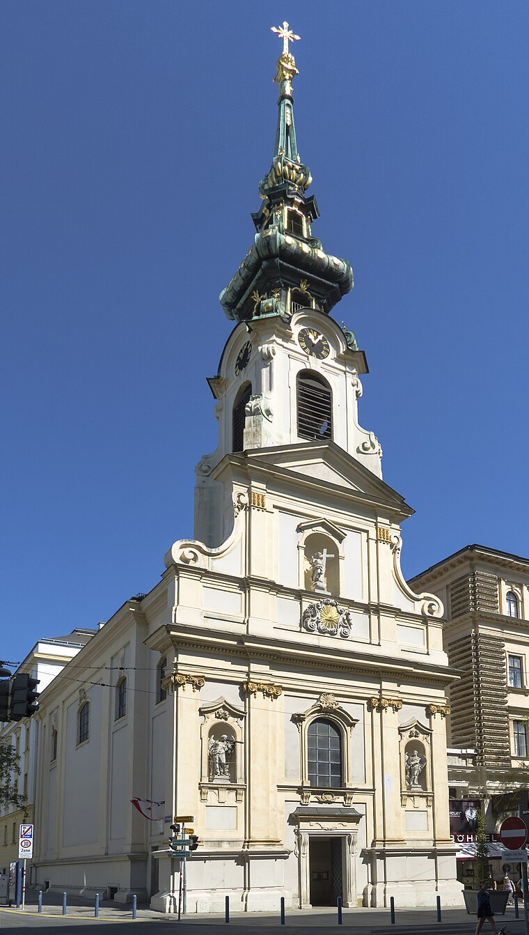 Stiftskirche, Vienna is a church, which is situated 110 metres north of The Budins.
Places in the Area
Nearby places include Neubau and Saint Ulrich.
Neubau

Photo: Ralf Roletschek, CC BY-SA 3.0.
Neubau is the 7th district of Vienna. Its border to the south is the popular Mariahilfer Strasse, to the west the Gürtel, and to the north Lerchenfelder Straße. The Neubau district contains many artsy places like the Museumsquartier.

Wieden

Photo: Xenophon, CC BY-SA 3.0.
Wieden is the fourth district of Vienna. Its north border is the Vienna river, the Prinz Eugen Straße the east and the Gürtel the south.
The Budins
- Opening hours:
Monday—Friday: 10:00 AM—7:00 PM
Saturday: 9:30 AM—6:00 PM - Type: Clothing store
- Category: shop
- Location: Mariahilf, Vienna, Austria, Central Europe, Europe
- View on OpenStreetMap
Latitude
48.19963° or 48° 11′ 59″ northLongitude
16.3556° or 16° 21′ 20″ eastOpen location code
8FWR59X4+V6OpenStreetMap ID
node 11033886902OpenStreetMap feature
shop=clothes
This page is based on OpenStreetMap, Wikidata, and Wikimedia Commons.
We’d love your help improving our open data sources. Thank you for contributing.
Satellite Map
Discover The Budins from above in high-definition satellite imagery.
Notable Places Nearby
Highlights include ISC and Die Christengemeinschaft Gemeinde Wien-Mitte.
Nearby Places
Explore places such as My Secret Garden and herr schnek.
Vienna: Must-Visit Destinations
Delve into Innere Stadt, Vienna International Airport, Inner East, and Hietzing.
Curious Clothing Stores to Discover
Uncover intriguing clothing stores from every corner of the globe.
About Mapcarta. Data © OpenStreetMap contributors and available under the Open Database License". Text is available under the CC BY-SA 4.0 license, except for photos, directions, and the map. Photo: Wikimedia, CC BY-SA 3.0.