Начало крутого подъема
Начало крутого подъема is a scenic viewpoint in Jalal-Abad Region, Kyrgyzstan. Начало крутого подъема is situated nearby to the mountain saddle Ashuu, as well as near Sary-Chelek Nature Reserve.| Tap on a place to explore it |
Places of Interest Nearby
Highlights include Sary-Chelek Nature Reserve and Lake Sary-Chelek.
Sary-Chelek Nature Reserve
Nature reserve

Photo: Kondephy, CC BY-SA 4.0.
The Sary-Chelek Nature Reserve is located in Aksy District, Jalal-Abad Region in western Kyrgyzstan. Established in 1959, it currently covers 23,868 hectares.
Lake Sary-Chelek
Lake
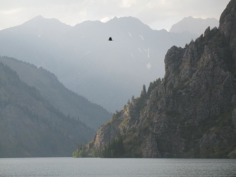
Photo: Firespeaker, CC BY-SA 3.0.
Sary-Chelek is a mountain lake located in Sary-Chelek Nature Reserve in Jalal-Abad Province in Western Kyrgyzstan. It is north of Arkyt at the eastern end of the Chatkal Range. Lake Sary-Chelek is situated 3½ km east of Начало крутого подъема.
Начало крутого подъема
- Type: Scenic viewpoint
- Category: tourism
- Location: Jalal-Abad Region, Kyrgyzstan, Central Asia, Asia
- View on OpenStreetMap
Latitude
41.88898° or 41° 53′ 20″ northLongitude
71.91766° or 71° 55′ 4″ eastOpen location code
8JHHVWQ9+H3OpenStreetMap ID
node 11036499306OpenStreetMap feature
tourism=viewpoint
This page is based on OpenStreetMap, Wikidata, and Wikimedia Commons.
We’d love your help improving our open data sources. Thank you for contributing.
Satellite Map
Discover Начало крутого подъема from above in high-definition satellite imagery.
Notable Places Nearby
Highlights include Ashuu and Вершина перевала.
Nearby Places
Explore places such as Jaeger’s house and Bakaly-Kol.
Kyrgyzstan: Must-Visit Destinations
Delve into Bishkek, Osh, Issyk Kul, and Karakol.
Curious Scenic Viewpoints to Discover
Uncover intriguing scenic viewpoints from every corner of the globe.
About Mapcarta. Data © OpenStreetMap contributors and available under the Open Database License". Text is available under the CC BY-SA 4.0 license, except for photos, directions, and the map. Photo: Bruno Rijsman, CC BY-SA 2.0.