Pink Elephant
Pink Elephant is in Jefferson, Missouri. Pink Elephant is situated nearby to Spring Lake Park, as well as near Number 216 Reservoir.| Tap on a place to explore it |
Places in the Area
Nearby places include Fenton and Murphy.
Fenton
Village

Photo: Paul Sableman, CC BY 2.0.
Fenton is a city in St. Louis County, Missouri, United States, and a suburb of St. Louis County. The population was 3,989 at the 2020 census. Fenton is situated 3½ miles north of Pink Elephant.
Murphy
Village
Murphy is a census-designated place in Jefferson County, Missouri, United States. The population was 8,690 at the 2010 census, down from 9,048 in 2000. Murphy is situated 3½ miles northwest of Pink Elephant.
Arnold
Town
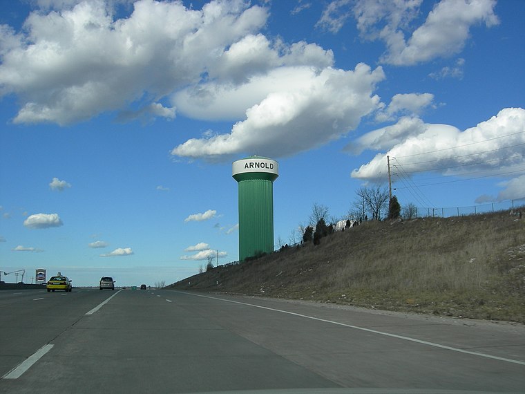
Photo: Fredlander, Public domain.
Arnold is a city in northeastern Jefferson County, Missouri, situated near the confluence of the Meramec and Mississippi rivers. A suburb of St. Louis, the city lies within the Greater St. Arnold is situated 4 miles southeast of Pink Elephant.
Pink Elephant
- Type: Tourist attraction
- Category: tourism
- Location: Jefferson, Missouri, Midwest, United States, North America
- View on OpenStreetMap
Latitude
38.46592° or 38° 27′ 57″ northLongitude
-90.42828° or 90° 25′ 42″ westOpen location code
86CFFH8C+9MOpenStreetMap ID
node 11057833041OpenStreetMap feature
tourism=attraction
This page is based on OpenStreetMap, Wikidata, and Wikimedia Commons.
We’d love your help improving our open data sources. Thank you for contributing.
Satellite Map
Discover Pink Elephant from above in high-definition satellite imagery.
Notable Places Nearby
Highlights include Saline Valley Fire Protection District Station #1 and Spring Lake Park.
Nearby Places
Explore places such as Pink Elephant and Rocket.
Missouri: Must-Visit Destinations
Delve into St. Louis, Jefferson City, Kansas City, and Springfield.
Curious Places to Discover
Uncover intriguing places from every corner of the globe.
About Mapcarta. Data © OpenStreetMap contributors and available under the Open Database License". Text is available under the CC BY-SA 4.0 license, except for photos, directions, and the map. Photo: Wikimedia, Public domain.