Penyetes de Moll
Penyetes de Moll is a peak in Castell de Castells, Alicante, Valencian Community and has an elevation of 775 metres. Penyetes de Moll is situated nearby to the locality Arechinos, as well as near Pla d’Ebo.| Tap on a place to explore it |
Places of Interest
Highlights include Església dels Sants Cosme i Damià de Benimaurell and Cova Fosca.
Església dels Sants Cosme i Damià de Benimaurell
Church

Photo: Joanbanjo, CC BY-SA 3.0.
Església dels Sants Cosme i Damià de Benimaurell is a church.

Places in the Area
Nearby places include La Vall d’Ebo and Benigembla.
La Vall d’Ebo
Village
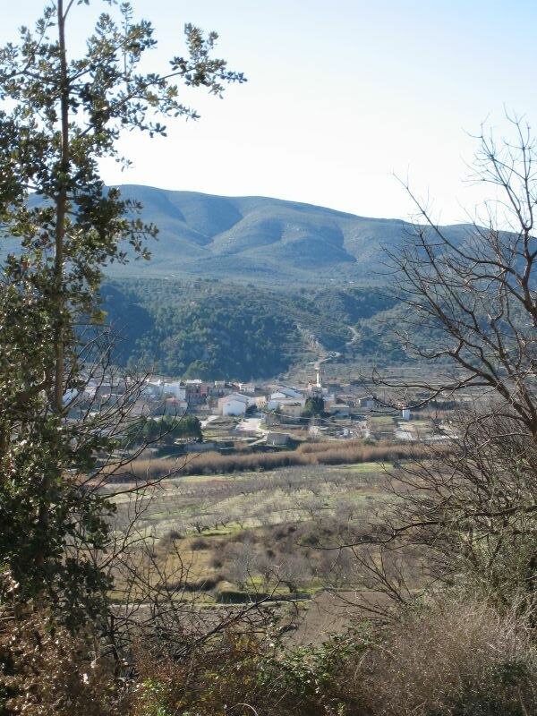 La Vall d'Ebo is a municipality in the province of Alicante and autonomous community of Valencia, Spain. The municipality covers an area of 32.4 square kilometres and as of 2011 had a population of 284 people.
Benigembla
Village

Photo: Robert5321, Public domain.
Benigembla is a town and municipality in the Pop Valley within the district of Marina Alta in eastern Spain. The town is 314 m above sea level. It is only 50 km away from Benidorm, 88 km from Alicante, 105 km from Valencia, and 23 km from Dénia.

Penyetes de Moll
- Type: Peak with an elevation of 775 metres
- Category: landform
- Location: Castell de Castells, Alicante, Valencian Community, Eastern Spain, Spain, Iberia, Europe
- View on OpenStreetMap
Latitude
38.765° or 38° 45′ 54″ northLongitude
-0.165° or 0° 9′ 54″ westElevation
775 metres (2,543 feet)Open location code
8CCXQR7P+X2OpenStreetMap ID
node 11076594611OpenStreetMap feature
natural=peak
This page is based on OpenStreetMap, Wikidata, and Wikimedia Commons.
We’d love your help improving our open data sources. Thank you for contributing.
Satellite Map
Discover Penyetes de Moll from above in high-definition satellite imagery.
In Other Languages
“Penyetes de Moll” goes by many names.
- Catalan: “Penyetes de Moll”
Localities in the Area
Explore places such as Arechinos and Pla d’Ebo.
Notable Places Nearby
Highlights include Penya Roja and Font de la Mata.
Alicante: Must-Visit Destinations
Delve into Alicante, Elche, Benidorm, and Torrevieja.
Curious Peaks to Discover
Uncover intriguing peaks from every corner of the globe.
About Mapcarta. Data © OpenStreetMap contributors and available under the Open Database License". Text is available under the CC BY-SA 4.0 license, except for photos, directions, and the map. Photo: Poco a poco, CC BY 3.0.