Unidade de Saúde Familiar São Vitor
Unidade de Saúde Familiar São Vitor is a clinic in São Victor, Braga. Unidade de Saúde Familiar São Vitor is situated nearby to the church Igreja Paroquial de São Vítor, as well as near Igreja Evangélica Assembleia de Deus de Braga.| Tap on a place to explore it |
- Opening hours: Monday—Friday 8:00 AM—8:00 PM
- Email: usf.saovitor@arsnorte.min-saude.pt
- Type: Clinic
- Also known as: “USF São Vitor”
Places of Interest Nearby
Highlights include Igreja Paroquial de São Vítor and Senhora-a-Branca Church.
Igreja Paroquial de São Vítor
Church

Photo: Joseolgon, Public domain.
Igreja Paroquial de São Vítor is a church.
Senhora-a-Branca Church
Church

Photo: Joseolgon, CC BY-SA 3.0.
Senhora-a-Branca Church is situated 310 metres west of Unidade de Saúde Familiar São Vitor.
Pavilhão das Goladas
Sports venue

Photo: Joseolgon, CC BY-SA 4.0.
Pavilhão das Goladas is a sports venue, which is situated 330 metres east of Unidade de Saúde Familiar São Vitor.
Places in the Area
Nearby places include São Vicente and São João do Souto.
São Vicente
Suburb
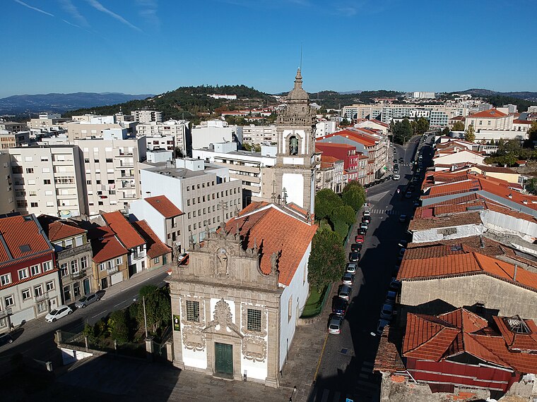
Photo: Joseolgon, CC BY-SA 4.0.
São Vicente is a Portuguese freguesia, located in the municipality of Braga. The population in 2011 was 13,236, in an area of 2.55 km². In São Vicente is located the Faculty of Philosophy part of Catholic University of Portugal, the Escola Secundária Sá de Miranda and the Colégio D.
São João do Souto
Suburb
Braga is a civil parish in the municipality of Braga, Portugal. It was formed in 2013 by the merger of the former parishes São José de São Lázaro and São João do Souto.
Sé
Suburb
Braga is a civil parish in the municipality of Braga, Portugal. It was formed in 2013 by the merger of the former parishes Maximinos, Sé and Cividade. The population in 2011 was 14,572, in an area of 2.57 km2.
Unidade de Saúde Familiar São Vitor
- Category: health care
- Location: São Victor, Braga, Braga District, Portugal, Iberia, Europe
- View on OpenStreetMap
Latitude
41.55253° or 41° 33′ 9″ northLongitude
-8.41233° or 8° 24′ 44″ westOperator
Serviço Nacional de SaúdeOpen location code
8CHHHH3Q+23OpenStreetMap ID
node 11088798145OpenStreetMap feature
amenity=clinicOpenStreetMap feature
healthcare=clinic
This page is based on OpenStreetMap, Wikidata, and Wikimedia Commons.
We’d love your help improving our open data sources. Thank you for contributing.
Satellite Map
Discover Unidade de Saúde Familiar São Vitor from above in high-definition satellite imagery.
Notable Places Nearby
Highlights include Igreja Evangélica Assembleia de Deus de Braga and Escola Industrial e Comercial de Braga.
Nearby Places
Explore places such as Unidade de Cuidados na Comunidade Assucena Lopes Teixeira and D. Pedro V - I.
Portugal: Must-Visit Destinations
Delve into Lisbon, Caldas da Rainha, Porto, and Coimbra.
Curious Clinics to Discover
Uncover intriguing clinics from every corner of the globe.
About Mapcarta. Data © OpenStreetMap contributors and available under the Open Database License". Text is available under the CC BY-SA 4.0 license, except for photos, directions, and the map. Photo: Jjtkk, CC BY 3.0.