Saint Mary’s By-The-Sea
Saint Mary’s By-The-Sea is a memorial in Connecticut, New England. Saint Mary’s By-The-Sea is situated nearby to the pitch Jennings Beach Skatepark, as well as near Jennings Skate Park.| Tap on a place to explore it |
Places of Interest Nearby
Highlights include Fairfield Museum and History Center and Fayerweather Island.
Fairfield Museum and History Center
Museum
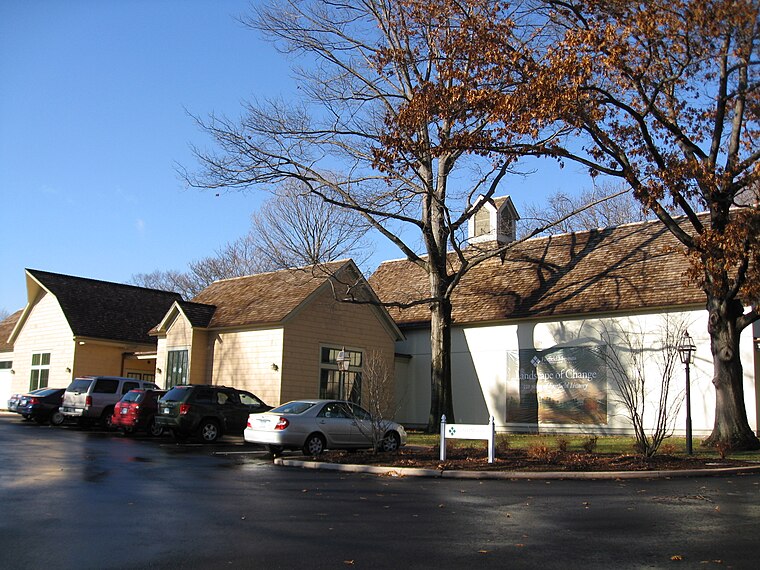
Photo: Jllm06, Public domain.
The Fairfield Museum and History Center is a museum and research library located at 370 Beach Road in Fairfield, Connecticut. Established in 2007 by the 103 year old Fairfield Historical Society, the Fairfield Museum. Fairfield Museum and History Center is situated 1 mile west of Saint Mary’s By-The-Sea.
Fayerweather Island
Islet

Photo: LEONARDO DASILVA, CC BY 3.0.
Fayerweather Island is a 7+1⁄2-acre land mass in Long Island Sound. Part of the city of Bridgeport, Connecticut, it is located south of the city's Seaside Park.
Black Rock Harbor Light
Lighthouse
 Black Rock Harbor Light, also known as Fayerweather Island Light, is a lighthouse in Bridgeport, Connecticut, United States which stands on the south end of Fayerweather Island and marks the entrance to Black Rock Harbor. Black Rock Harbor Light is situated 1 mile east of Saint Mary’s By-The-Sea.
Places in the Area
Nearby places include Black Rock Historic District and Black Rock Gardens Historic District.
Black Rock Historic District
Neighborhood

Photo: Magicpiano, CC BY-SA 4.0.
The Black Rock Historic District is a predominantly residential historic district in the Black Rock section of Bridgeport, Connecticut. It was listed on the National Register of Historic Places in 1979.
Black Rock Gardens Historic District
Neighborhood

Photo: Magicpiano, CC BY-SA 4.0.
The Black Rock Gardens Historic District is a historic district in the Black Rock neighborhood of Bridgeport, Connecticut. It encompasses a small residential development built between 1916 and 1920 to provide housing for workers in war-related industries in the city.
Black Rock

Photo: Markvs88, Public domain.
Black Rock is a neighborhood in the southwestern section of the city of Bridgeport, Connecticut. It borders Fairfield and the Ash Creek tidal estuary on the west, the West Side/West End of Bridgeport on the north and east, and Black Rock Harbor and Long Island Sound on the south.
Saint Mary’s By-The-Sea
- Type: Memorial
- Category: historic site
- Location: Connecticut, New England, United States, North America
- View on OpenStreetMap
Latitude
41.14426° or 41° 8′ 39″ northLongitude
-73.23311° or 73° 13′ 59″ westOpen location code
87H84QV8+PQOpenStreetMap ID
node 11093849670OpenStreetMap feature
historic=memorial
This page is based on OpenStreetMap, Wikidata, and Wikimedia Commons.
We’d love your help improving our open data sources. Thank you for contributing.
Satellite Map
Discover Saint Mary’s By-The-Sea from above in high-definition satellite imagery.
Notable Places Nearby
Highlights include The Preserve at Saint Mary’s-by-the-Sea and Jennings Beach Skatepark.
Nearby Places
Explore places such as Ash Creek Restoration Project and Blue Star Memorial.
Connecticut: Must-Visit Destinations
Delve into Hartford, New Haven, Bridgeport, and Stamford.
Curious Memorials to Discover
Uncover intriguing memorials from every corner of the globe.
About Mapcarta. Data © OpenStreetMap contributors and available under the Open Database License". Text is available under the CC BY-SA 4.0 license, except for photos, directions, and the map. Photo: Wikimedia, CC0.