Creu del Pla de l’Aljub
Creu del Pla de l’Aljub is a wayside cross in Llombai, Valencia, Valencian Community. Creu del Pla de l’Aljub is situated nearby to the peak Molló de l’Almud, as well as near Lloma del Tío Pons.| Tap on a place to explore it |
Places of Interest Nearby
Highlights include Clot de les tortugues and Baixador d’Espioca.
Clot de les tortugues

Photo: Nosolodepanviviraelhombre, CC BY-SA 4.0.
Clot de les tortugues is situated 4 km northwest of Creu del Pla de l’Aljub.
Baixador d’Espioca
Metro station

Photo: 19Tarrestnom65, CC BY-SA 4.0.
Baixador d’Espioca is a metro station, which is situated 3½ km east of Creu del Pla de l’Aljub.
Places in the Area
Nearby places include Picassent and Alcàsser.
Picassent
Town
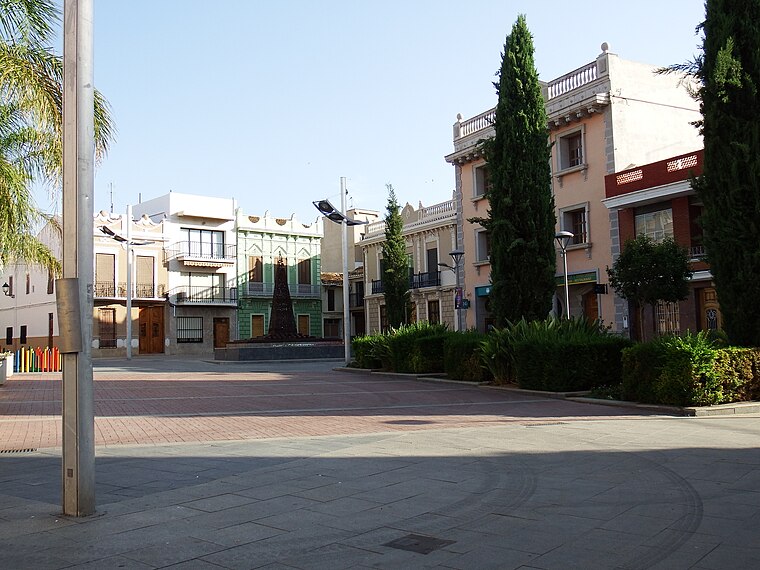
Photo: 19Tarrestnom65, CC BY-SA 4.0.
Picassent is a municipality in the comarca of Horta Sud in the Valencian Community, Spain. Picassent is a town of close to twenty thousand people. Originally the town's main economic activity was agriculture, however during the last twenty years Picassent developed two industrial areas adjacent to the city centre. Picassent is situated 5 km northeast of Creu del Pla de l’Aljub.
Alcàsser
Village

Photo: 19Tarrestnom65, CC BY-SA 3.0.
Alcàsser is a municipality in the comarca of Horta Sud in the Valencian Community, Spain. Alcàsser is situated 7 km northeast of Creu del Pla de l’Aljub.
Alfarb
Village

Photo: Wikimedia, Public domain.
Alfarb is a municipality in the comarca of Ribera Alta in the Valencian Community, Spain. Alfarb is situated 8 km southwest of Creu del Pla de l’Aljub.
Creu del Pla de l’Aljub
- Type: Wayside cross
- Category: historic site
- Location: Llombai, Valencia, Valencian Community, Eastern Spain, Spain, Iberia, Europe
- View on OpenStreetMap
Latitude
39.3325° or 39° 19′ 57″ northLongitude
-0.50597° or 0° 30′ 22″ westOpen location code
8CFX8FJV+XJOpenStreetMap ID
node 11094559069OpenStreetMap feature
historic=wayside_cross
This page is based on OpenStreetMap, Wikidata, and Wikimedia Commons.
We’d love your help improving our open data sources. Thank you for contributing.
Satellite Map
Discover Creu del Pla de l’Aljub from above in high-definition satellite imagery.
Notable Places Nearby
Highlights include Sima de l’Àguila and Mirador 290 msnm.
Nearby Places
Explore places such as Residenciales Sierramar SCP - Oficina de Atención al Público and Espioca.
Valencia: Must-Visit Destinations
Delve into Valencia, Sagunto, Gandía, and Xàtiva.
Curious Wayside Crosses to Discover
Uncover intriguing wayside crosses from every corner of the globe.
About Mapcarta. Data © OpenStreetMap contributors and available under the Open Database License". Text is available under the CC BY-SA 4.0 license, except for photos, directions, and the map. Photo: andruby, CC BY 2.0.