Naturwald Kananohe
Naturwald Kananohe is in Langenhagen, Hanover Region, Lower Saxony. Naturwald Kananohe is situated nearby to Kaltenweider Moor, as well as near the lake Muswillensee.| Tap on a place to explore it |
Places of Interest Nearby
Highlights include Kananohe and Hannover Airport.

Hannover Airport
Aerodrome

Photo: TeWeBs, CC BY-SA 4.0.
Hannover Airport is the international airport of Hanover, capital of the German state of Lower Saxony. The ninth largest airport in Germany, it is situated on 570 hectares in Langenhagen, 11 kilometres north of the centre of Hanover. Hannover Airport is situated 2½ km south of Naturwald Kananohe.
Places in the Area
Nearby places include Engelbostel and Kaltenweide.
Engelbostel
Suburb
Engelbostel is a district of the city of Langenhagen in the Hanover region. It was independent until 1974 when the village was incorporated into Langenhagen. Engelbostel is situated 4 km south of Naturwald Kananohe.
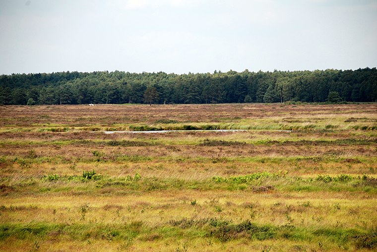
Osterwald
Village

Photo: Ricki, CC BY-SA 2.5.
Osterwald is a village, which is situated 5 km southwest of Naturwald Kananohe.
Naturwald Kananohe
- Type: Sign
- Categories: information and tourism
- Location: Langenhagen, Hanover Region, Lower Saxony, Germany, Central Europe, Europe
- View on OpenStreetMap
Latitude
52.48278° or 52° 28′ 58″ northLongitude
9.66825° or 9° 40′ 6″ eastOpen location code
9F4FFMM9+48OpenStreetMap ID
node 11114592922OpenStreetMap feature
tourism=information
This page is based on OpenStreetMap, Wikidata, and Wikimedia Commons.
We’d love your help improving our open data sources. Thank you for contributing.
Satellite Map
Discover Naturwald Kananohe from above in high-definition satellite imagery.
Notable Places Nearby
Highlights include Kaltenweider Moor and Resser Tongrube.
Nearby Places
Explore places such as Urwälder von Morgen ‘Natuwald Kananohe’ and Waldkindergarten Febel.
Hanover Region: Must-Visit Destinations
Delve into Hanover, Hildesheim, Nienburg, and Verden an der Aller.
Curious Places to Discover
Uncover intriguing places from every corner of the globe.
About Mapcarta. Data © OpenStreetMap contributors and available under the Open Database License". Text is available under the CC BY-SA 4.0 license, except for photos, directions, and the map. Photo: Ukko.de, CC BY-SA 3.0.