En Balegue
En Balegue is a peak in Longchaumois, Arrondissement of Saint-Claude, Bourgogne-Franche-Comté. En Balegue is situated nearby to the locality Belbouchet, as well as near the hamlet Rosset.| Tap on a place to explore it |
Places of Interest
Highlights include Mont Fier.

Places in the Area
Nearby places include Prémanon and Lamoura.
Prémanon
Village

Photo: Patrub01, CC BY-SA 3.0.
Prémanon is a commune in the Jura department in Bourgogne-Franche-Comté in eastern France.
Lamoura
Village
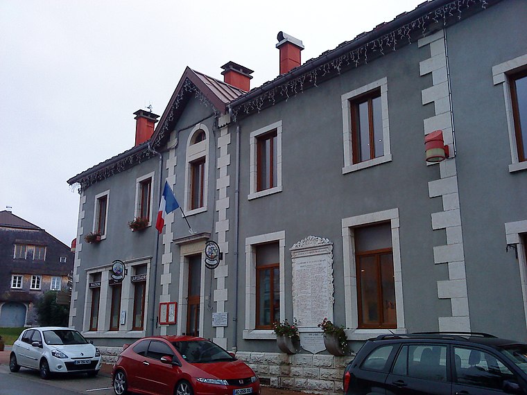
Photo: Patrub01, CC BY-SA 3.0.
Lamoura is a commune in the Jura department in Bourgogne-Franche-Comté in eastern France.
La Mouille
Village

Photo: Nadege Bonnet Mathieu, CC BY-SA 4.0.
La Mouille is a former commune in the Jura department in Bourgogne-Franche-Comté in eastern France. On 1 January 2016, it was merged into the new commune of Hauts de Bienne.
En Balegue
- Type: Peak
- Category: landform
- Location: Longchaumois, Arrondissement of Saint-Claude, Jura, Bourgogne-Franche-Comté, France, Europe
- View on OpenStreetMap
Latitude
46.4456° or 46° 26′ 44″ northLongitude
5.9724° or 5° 58′ 21″ eastOpen location code
8FR7CXWC+6WOpenStreetMap ID
node 11118734350OpenStreetMap feature
natural=peak
This page is based on OpenStreetMap, Wikidata, and Wikimedia Commons.
We’d love your help improving our open data sources. Thank you for contributing.
Satellite Map
Discover En Balegue from above in high-definition satellite imagery.
Localities in the Area
Explore places such as Belbouchet and Rosset.
Notable Places Nearby
Highlights include Longchaumois Rosset and Col du Haut Crêt.
Bourgogne-Franche-Comté: Must-Visit Destinations
Delve into Nièvre, Dijon, Besançon, and Vesoul.
Curious Peaks to Discover
Uncover intriguing peaks from every corner of the globe.
About Mapcarta. Data © OpenStreetMap contributors and available under the Open Database License". Text is available under the CC BY-SA 4.0 license, except for photos, directions, and the map. Photo: Juraastro, CC BY-SA 3.0.