Banderayoc
Banderayoc is a bus stop in Cuzco Department, Peru. Banderayoc is situated nearby to the hot spring Machacancha Thermal Baths, as well as near the peak Coscojahuarina.| Tap on a place to explore it |
Places of Interest Nearby
Highlights include Coscojahuarina and Maquimaquiyoc.
Coscojahuarina
Peak
Coscojahuarina is a 4,623-metre-high mountain in the eastern extensions of the Urubamba mountain range in the Andes of Peru. It is located in the Cusco Region, Calca Province, Calca District. It lies south of Llamayojcasa and west of the village of Totora. Coscojahuarina is situated 3½ km north of Banderayoc.
Maquimaquiyoc
Peak
Maquimaquiyoc is a mountain in the eastern extensions of the Urubamba mountain range in the Andes of Peru, about 4,200 m high. It is located in the Cusco Region, Calca Province, Calca District. Maquimaquiyoc is situated 3½ km west of Banderayoc.
Places in the Area
Nearby places include Calca.
Calca
Town
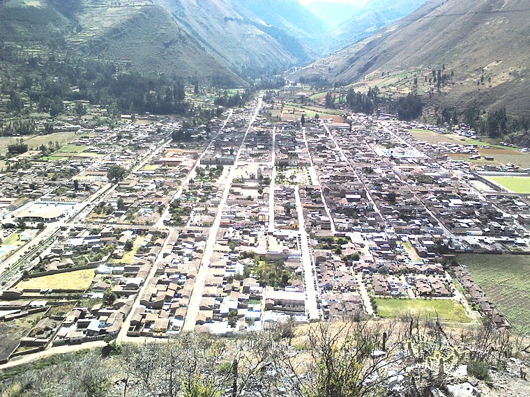
Photo: Miguel taipe, CC BY-SA 4.0.
Calca, also referred to as Villa de Zamora, is a town in southern Peru, capital of Calca Province in Cusco Region. It is at an elevation of around 2926 meters above sea level. Calca is situated 6 km southwest of Banderayoc.
Banderayoc
- Type: Bus stop
- Category: transportation
- Location: Cuzco Department, Peru, South America
- View on OpenStreetMap
Latitude
-13.27471° or 13° 16′ 29″ southLongitude
-71.92874° or 71° 55′ 44″ westOpen location code
57RCP3GC+4GOpenStreetMap ID
node 11128597319OpenStreetMap feature
highway=bus_stopOpenStreetMap feature
public_transport=platform
This page is based on OpenStreetMap, Wikidata, and Wikimedia Commons.
We’d love your help improving our open data sources. Thank you for contributing.
Satellite Map
Discover Banderayoc from above in high-definition satellite imagery.
Places with the Same Name
Discover other places named “Banderayoc”.
Notable Places Nearby
Highlights include Machacancha Thermal Baths and Iglesia evangélica peruana.
Nearby Places
Explore places such as Banderayoc and Institución educativa inicial No. 244.
Peru: Must-Visit Destinations
Delve into Lima, Machu Picchu, Cuzco, and Arequipa.
Curious Bus Stops to Discover
Uncover intriguing bus stops from every corner of the globe.
About Mapcarta. Data © OpenStreetMap contributors and available under the Open Database License". Text is available under the CC BY-SA 4.0 license, except for photos, directions, and the map. Photo: Wikimedia, CC BY 3.0.