Policía Nacional
Policía Nacional is a police station in Dos Hermanas, Seville, Andalusia. Policía Nacional is situated nearby to the police station Policía Local, as well as near the stadium Estadio Municipal Miguel Román.| Tap on a place to explore it |
Places of Interest Nearby
Highlights include Dos Hermanas train station and Biblioteca Pública Municipal de Dos Hermanas - Pedro Laín Entralgo.
Dos Hermanas train station
Railway station

Photo: Cárdenas, CC BY-SA 3.0.
Dos Hermanas train station is a railway station, which is situated 430 metres southeast of Policía Nacional.
Biblioteca Pública Municipal de Dos Hermanas - Pedro Laín Entralgo
Library

Photo: Frobles, CC BY-SA 4.0.
Biblioteca Pública Municipal de Dos Hermanas - Pedro Laín Entralgo is a library, which is situated 680 metres south of Policía Nacional.
Hacienda Torre de Doña María
Monument

Photo: JFAlcocer, CC BY-SA 4.0.
Hacienda Torre de Doña María is a monument, which is situated 2 km northwest of Policía Nacional.
Places in the Area
Nearby places include Bellavista and Quinto.
Bellavista
Neighborhood
Bellavista is a neighbourhood in the Bellavista-La Palmera district in the south of the city of Seville, Andalusia, Spain. It lies on the east bank of the Guadaira river, a tributary of the Guadalquivir. Bellavista is situated 5 km northwest of Policía Nacional.
Quinto
Neighborhood

Photo: Germany444, CC BY-SA 4.0.
Quinto is a neighborhood, which is situated 5 km north of Policía Nacional.
Bellavista-La Palmera
Suburb
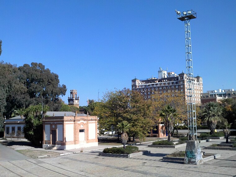
Photo: CarlosVdeHabsburgo, CC BY-SA 4.0.
Bellavista-La Palmera is a district of the city of Seville, the regional capital of the Spanish region of Andalusia. It is situated on the eastern bank of the Guadalquivir river, to the south of the city centre. Bellavista-La Palmera is situated 7 km northwest of Policía Nacional.
Policía Nacional
- Type: Police station
- Also known as: “Comisaría de Dos Hermanas”
- Location: Dos Hermanas, Seville, Andalusia, Spain, Iberia, Europe
- View on OpenStreetMap
Latitude
37.29076° or 37° 17′ 27″ northLongitude
-5.92539° or 5° 55′ 31″ westOperator
National Police Corps of SpainOpen location code
8C9P73RF+8ROpenStreetMap ID
node 11153391707OpenStreetMap feature
amenity=police
This page is based on OpenStreetMap, Wikidata, and Wikimedia Commons.
We’d love your help improving our open data sources. Thank you for contributing.
Satellite Map
Discover Policía Nacional from above in high-definition satellite imagery.
Places with the Same Name
Discover other places named “Policía Nacional”.
Notable Places Nearby
Highlights include Policía Local and Club de fútbol - La Moneda.
Nearby Places
Explore places such as Farmacia Ramón y Cajal and Ferretería La Moneda.
Seville: Must-Visit Destinations
Delve into Seville, Santiponce, and Sierra Norte.
Curious Police Stations to Discover
Uncover intriguing police stations from every corner of the globe.
About Mapcarta. Data © OpenStreetMap contributors and available under the Open Database License". Text is available under the CC BY-SA 4.0 license, except for photos, directions, and the map. Photo: Wikimedia, CC0.