Curaleaf Camelback
Curaleaf Camelback is a pharmacy in Maricopa County, Arizona. Curaleaf Camelback is situated nearby to Indian School Station Post Office, as well as near the school Xavier College Preparatory.| Tap on a place to explore it |
Places of Interest Nearby
Highlights include Steele Indian School Park and Xavier College Preparatory.
Steele Indian School Park
Park

Photo: Marine 69-71, CC BY-SA 3.0.
Steele Indian School Park is located on the northeast corner of Indian School Road and Central Avenue in Encanto Village, Phoenix, Arizona. Steele Indian School Park is situated 1 mile southwest of Curaleaf Camelback.
Xavier College Preparatory
School
Xavier College Preparatory is a private, Catholic, all-girls high school in Phoenix, Arizona, United States. Located in the Roman Catholic Diocese of Phoenix, it draws students from 120 local schools. Xavier College Preparatory is situated 2,900 feet southwest of Curaleaf Camelback.
Brophy College Chapel
Church

Photo: Kabugenyo, CC BY-SA 3.0.
Brophy College Chapel is a chapel at Brophy College Preparatory, a Jesuit high school in Phoenix, Arizona. It was listed on the National Register of Historic Places in 1993. Brophy College Chapel is situated 1 mile west of Curaleaf Camelback.
Places in the Area
Nearby places include Melrose District and Encanto.
Melrose District
Neighborhood
The Melrose District is an neighborhood located in north central Phoenix, Arizona along 7th Avenue on the borders the Encanto and Alhambra urban villages. Melrose District is situated 1½ miles southwest of Curaleaf Camelback.
Encanto
Suburb
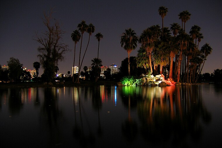
Photo: Jboeke, CC BY-SA 2.0.
Encanto Village is one of the 15 Urban villages that make up the City of Phoenix, in Arizona. The village, centered along Central Avenue, is home to the popular Midtown and Melrose Districts, as well as many historic neighborhoods, including Encanto, its namesake. Encanto is situated 2 miles southwest of Curaleaf Camelback.
Alhambra
Suburb

Photo: Ixnayonthetimmay, CC BY-SA 4.0.
Alhambra is an urban village of Phoenix, Arizona. Alhambra is situated 3 miles west of Curaleaf Camelback.
Curaleaf Camelback
- Type: Pharmacy
- Postal code: 85014
- Category: health care
- Location: Maricopa County, Arizona, Southwest, United States, North America
- View on OpenStreetMap
Latitude
33.50946° or 33° 30′ 34″ northLongitude
-112.05903° or 112° 3′ 33″ westOpen location code
8559GW5R+Q9OpenStreetMap ID
node 11164133105OpenStreetMap feature
amenity=pharmacy
This page is based on OpenStreetMap, Wikidata, and Wikimedia Commons.
We’d love your help improving our open data sources. Thank you for contributing.
Satellite Map
Discover Curaleaf Camelback from above in high-definition satellite imagery.
Notable Places Nearby
Highlights include Indian School Station Post Office and Black Swan Yoga - Phoenix.
Nearby Places
Explore places such as BMW Pre-Owned on Camelback and 12501.
Arizona: Must-Visit Destinations
Delve into Phoenix, Tucson, Mesa, and Flagstaff.
Curious Pharmacies to Discover
Uncover intriguing pharmacies from every corner of the globe.
About Mapcarta. Data © OpenStreetMap contributors and available under the Open Database License". Text is available under the CC BY-SA 4.0 license, except for photos, directions, and the map. Photo: Tobi 87, CC BY-SA 3.0.