OffenBurger
OffenBurger is a fast food restaurant in Baden-Württemberg, Germany which is located on Allensteiner Straße. OffenBurger is situated nearby to the fire station Feuerwehr, as well as near the university Hochschule Kehl.| Tap on a place to explore it |
- Type: Fast food restaurant
- Cuisine: burger
- Address: Allensteiner Straße 15b, Kehl, 77694
Places of Interest Nearby
Highlights include Kehl station and Stolperstein dedicated to Julius Dreifuss.
Kehl station
Railway station

Photo: Guilhem Vellut, CC BY 2.0.
Kehl station is a railway station in Kehl, a town in southwestern Germany in the Ortenaukreis, Baden-Württemberg. It is situated on the Appenweier–Strasbourg railway, with trains crossing the Rhine into France to reach the latter destination. Kehl station is situated 650 metres west of OffenBurger.
Stolperstein dedicated to Julius Dreifuss
Memorial

Photo: L39p, CC BY-SA 3.0.
Stolperstein dedicated to Julius Dreifuss is a memorial, which is situated 430 metres southwest of OffenBurger.
Stadthalle Kehl
Community center
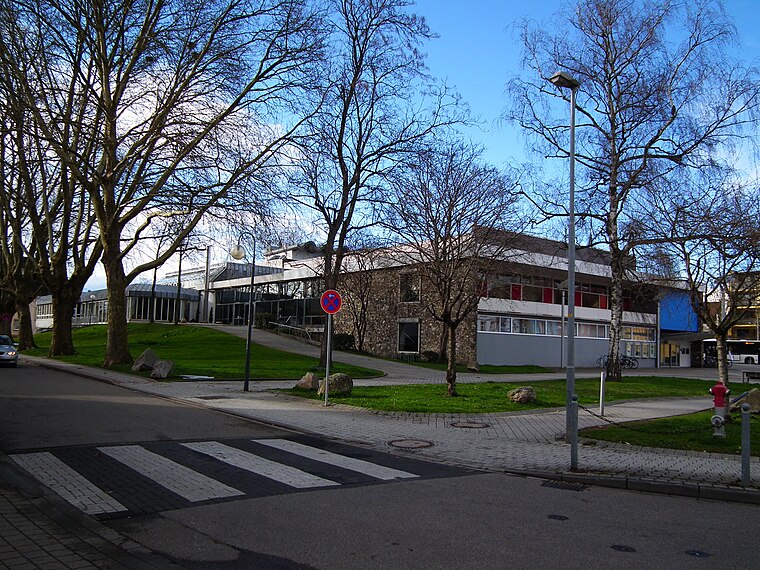
Photo: 4028mdk09, CC BY-SA 3.0.
Stadthalle Kehl is a community center, which is situated 780 metres southwest of OffenBurger.
Places in the Area
Nearby places include Kehl and Bodersweier.
Kehl

Photo: Wikimedia, CC BY-SA 4.0.
Kehl is a city on the River Rhine, in the Ortenau region of Germany west of the Black Forest and immediately east of Strasbourg.
Bodersweier
Village

Photo: Gerd Eichmann, CC BY-SA 4.0.
Bodersweier is a village, which is situated 5 km northeast of OffenBurger.
Strasbourg

Photo: stefano Merli, CC BY-SA 2.0.
Strasbourg, in Alsace, is the capital of the Grand-Est region of France and is most widely known for hosting a number of important European institutions.
OffenBurger
- Categories: food and restaurant
- Location: Baden-Württemberg, Germany, Central Europe, Europe
- View on OpenStreetMap
Latitude
48.57822° or 48° 34′ 42″ northLongitude
7.81576° or 7° 48′ 57″ eastOpen location code
8FW9HRH8+78OpenStreetMap ID
node 11182405406OpenStreetMap feature
amenity=fast_foodOpenStreetMap attribute
cuisine=burger
This page is based on OpenStreetMap, Wikidata, and Wikimedia Commons.
We’d love your help improving our open data sources. Thank you for contributing.
Satellite Map
Discover OffenBurger from above in high-definition satellite imagery.
Notable Places Nearby
Highlights include Feuerwehr and Hochschule Kehl.
Nearby Places
Explore places such as B&B Hotel and Fristo.
Baden-Württemberg: Must-Visit Destinations
Delve into Stuttgart, Heidelberg, Karlsruhe, and Mannheim.
Curious Fast Food Restaurants to Discover
Uncover intriguing fast food restaurants from every corner of the globe.
About Mapcarta. Data © OpenStreetMap contributors and available under the Open Database License". Text is available under the CC BY-SA 4.0 license, except for photos, directions, and the map. Photo: Traveler100, CC BY-SA 3.0.