Capela Suzão
Capela Suzão is a bus stop in Valongo, Porto District. Capela Suzão is situated nearby to the church Igreja do Susão, as well as near Capela do Susão.| Tap on a place to explore it |
Places of Interest Nearby
Highlights include Biblioteca Municipal de Valongo and Suzão Halt.
Biblioteca Municipal de Valongo
Library

Photo: Vitor Oliveira, CC BY-SA 2.0.
Biblioteca Municipal de Valongo is a library, which is situated 1 km southeast of Capela Suzão.
Suzão Halt
Railway stop

Photo: Tiago Miranda, CC BY 2.0.
Suzão Halt is a railway stop, which is situated 690 metres south of Capela Suzão.
Valongo train station
Railway stop
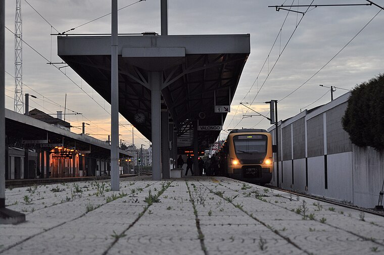
Photo: Giugiaro, CC BY-SA 3.0.
Valongo train station is a railway stop, which is situated 2 km southeast of Capela Suzão.
Places in the Area
Nearby places include Cabêda and Baguim do Monte.
Cabêda
Hamlet

Photo: Karl Emil Biel, Public domain.
Cabêda is a hamlet, which is situated 3½ km northwest of Capela Suzão.
Baguim do Monte
Village

Photo: Wikimedia, Public domain.
Baguim do Monte is a civil parish in the municipality of Gondomar, Portugal. It was formed on July 11, 1985, by disintegration of territories of the parish of Rio Tinto. Baguim do Monte is situated 3½ km southwest of Capela Suzão.
Fânzeres
Town
Fânzeres is a town and a former civil parish in the municipality of Gondomar, Portugal. In 2013, the parish merged into the new parish Fânzeres e São Pedro da Cova. Fânzeres is situated 5 km southwest of Capela Suzão.
Capela Suzão
- Type: Bus stop
- Category: transportation
- Location: Valongo, Valongo Municipality, Porto District, Portugal, Iberia, Europe
- View on OpenStreetMap
Latitude
41.20288° or 41° 12′ 10″ northLongitude
-8.49901° or 8° 29′ 56″ westOperator
UNIRNetwork
UNIROpen location code
8CHH6G32+59OpenStreetMap ID
node 11186770068OpenStreetMap feature
highway=bus_stopOpenStreetMap feature
public_transport=platform
This page is based on OpenStreetMap, Wikidata, and Wikimedia Commons.
We’d love your help improving our open data sources. Thank you for contributing.
Satellite Map
Discover Capela Suzão from above in high-definition satellite imagery.
Notable Places Nearby
Highlights include Igreja do Susão and Capela do Susão.
Nearby Places
Explore places such as Capela Suzão and Jardim de Infância de Susão.
Portugal: Must-Visit Destinations
Delve into Lisbon, Caldas da Rainha, Porto, and Coimbra.
Curious Bus Stops to Discover
Uncover intriguing bus stops from every corner of the globe.
About Mapcarta. Data © OpenStreetMap contributors and available under the Open Database License". Text is available under the CC BY-SA 4.0 license, except for photos, directions, and the map. Photo: Tsy1980, CC BY-SA 4.0.