SK Rakovník
SK Rakovník is in Rakovník, Central Bohemia. SK Rakovník is situated nearby to LTC Rakovník, as well as near the community center Centrum pro děti, mládež a dospělé DRAK, z.s..| Tap on a place to explore it |
Places of Interest Nearby
Highlights include Sixtovo náměstí and svatý Roch.
Sixtovo náměstí
Square

Photo: Zdenek952, CC BY-SA 4.0.
Sixtovo náměstí is a square, which is situated 530 metres east of SK Rakovník.

Town hall in Rakovník
Town hall
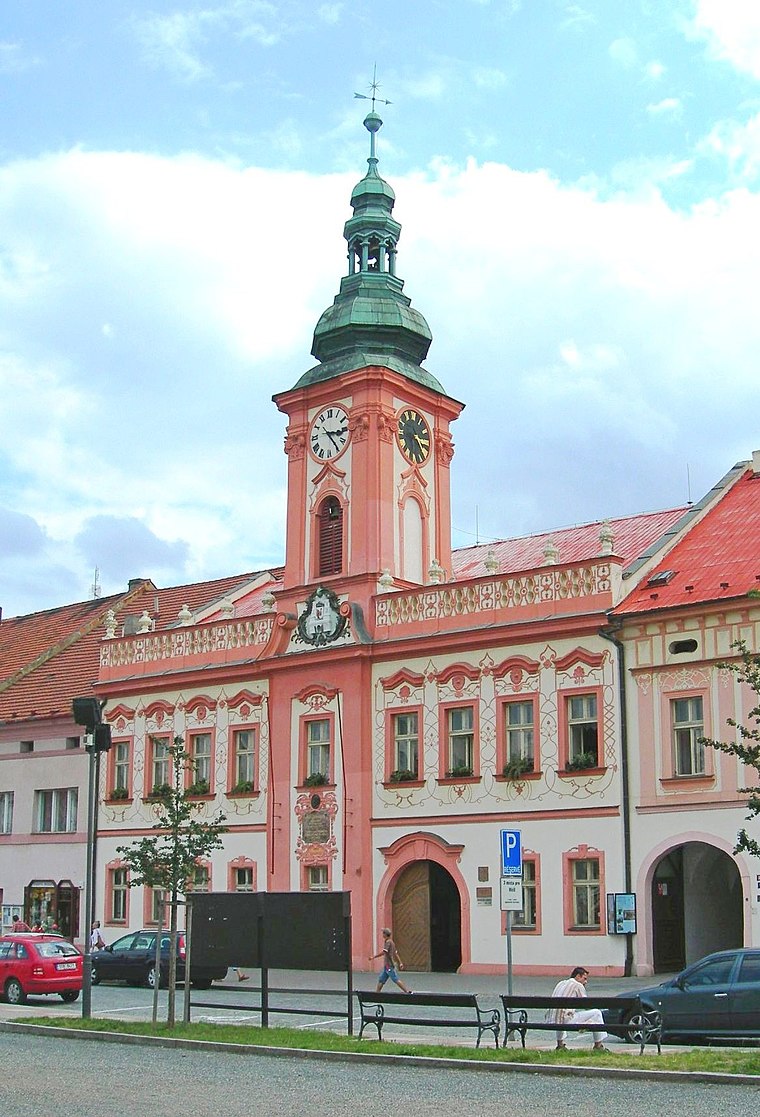
Photo: Wikimedia, CC BY-SA 3.0.
Town hall in Rakovník is situated 790 metres east of SK Rakovník.
Places in the Area
Nearby places include Olešná and Lubná.
Olešná
Village
 Olešná is a municipality and village in Rakovník District in the Central Bohemian Region of the Czech Republic. It has about 600 inhabitants. Olešná is situated 3 km northwest of SK Rakovník.
Lubná
Village
 Lubná is a municipality and village in Rakovník District in the Central Bohemian Region of the Czech Republic. It has about 1,100 inhabitants. Lubná is situated 3½ km south of SK Rakovník.
Hostokryje
Village

Photo: Juandev, CC BY-SA 3.0.
Hostokryje is a village, which is situated 4 km southwest of SK Rakovník.
SK Rakovník
- Type: Football
- Category: sports location
- Location: Rakovník, Rakovník District, Central Bohemia, Czech Republic, Central Europe, Europe
- View on OpenStreetMap
Latitude
50.10479° or 50° 6′ 17″ northLongitude
13.71761° or 13° 43′ 3″ eastOpen location code
9F2M4P39+W2OpenStreetMap ID
node 11202125954OpenStreetMap feature
sport=soccer
This page is based on OpenStreetMap, Wikidata, and Wikimedia Commons.
We’d love your help improving our open data sources. Thank you for contributing.
Satellite Map
Discover SK Rakovník from above in high-definition satellite imagery.
Notable Places Nearby
Highlights include LTC Rakovník and SK Rakovník.
Nearby Places
Explore places such as Kotel and MŠ Rakovník, V Lukách.
Central Bohemia: Must-Visit Destinations
Delve into Prague, Kutná Hora, Kladno, and Mladá Boleslav.
Curious Places to Discover
Uncover intriguing places from every corner of the globe.
About Mapcarta. Data © OpenStreetMap contributors and available under the Open Database License". Text is available under the CC BY-SA 4.0 license, except for photos, directions, and the map. Photo: Zdeněk Fiedler, CC BY-SA 3.0.