Zwischenspitze
Zwischenspitze is a peak in Sankt Gallenkirch, Bludenz District, Vorarlberg and has an elevation of 2,661 metres. Zwischenspitze is situated nearby to the hamlet Vergalda, as well as near the locality Garneraalpe.| Tap on a place to explore it |
Places of Interest
Highlights include Madrisella and Matschunerjoch.


Places in the Area
Nearby places include Gemeinde Gaschurn-Partenen and Gargellen.
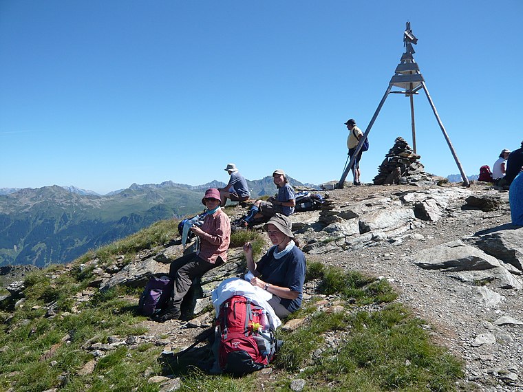
Gemeinde Gaschurn-Partenen
Village

Photo: Böhringer, CC BY-SA 2.5.
Gaschurn-Partenen is a municipality in the district of Bludenz in the westernmost Austrian state of Vorarlberg. The two largest villages are Gaschurn Dorf and Partenen.


Zwischenspitze
- Type: Peak with an elevation of 2,661 metres
- Category: landform
- Location: Sankt Gallenkirch, Bludenz District, Vorarlberg, Austria, Central Europe, Europe
- View on OpenStreetMap
Latitude
46.9598° or 46° 57′ 35″ northLongitude
9.9633° or 9° 57′ 48″ eastElevation
2,661 metres (8,730 feet)Open location code
8FRFXX57+W8OpenStreetMap ID
node 11239665710OpenStreetMap feature
natural=peak
This page is based on OpenStreetMap, Wikidata, and Wikimedia Commons.
We’d love your help improving our open data sources. Thank you for contributing.
Satellite Map
Discover Zwischenspitze from above in high-definition satellite imagery.
Localities in the Area
Explore places such as Vergalda and Garneraalpe.
Notable Places Nearby
Highlights include Heimspitze and Valisera.
Vorarlberg: Must-Visit Destinations
Delve into Bregenz, Dornbirn, Feldkirch, and Bludenz.
Curious Peaks to Discover
Uncover intriguing peaks from every corner of the globe.
About Mapcarta. Data © OpenStreetMap contributors and available under the Open Database License". Text is available under the CC BY-SA 4.0 license, except for photos, directions, and the map. Photo: Böhringer, CC BY-SA 2.5.