Armada Brewing
Armada Brewing is a brewery in South Central Connecticut Planning Region, Connecticut. Armada Brewing is situated nearby to the neighborhood River Street Historic District, as well as near Quinnipiac Park.| Tap on a place to explore it |
Places of Interest Nearby
Highlights include 29th Colored Regiment Monument and Pearl Harbor Memorial Bridge.
29th Colored Regiment Monument
Memorial

Photo: Blerdlife, CC BY-SA 4.0.
The 29th Colored Regiment Monument is a monument located in Criscuolo Park in New Haven, Connecticut, United States. The monument commemorates the soldiers of the 29th Connecticut Infantry Regiment and is located on the grounds of where more than 900 black recruits trained in 1863. 29th Colored Regiment Monument is situated 1,100 feet west of Armada Brewing.
Pearl Harbor Memorial Bridge
Bridge

Photo: Dannel Malloy, CC BY 2.0.
The Pearl Harbor Memorial Bridge, commonly referred to as the Q Bridge by locals, is an extradosed bridge that carries Interstate 95 over the mouth of the Quinnipiac River in New Haven, in the U.S. state of Connecticut. Pearl Harbor Memorial Bridge is situated 1,800 feet southwest of Armada Brewing.
Tomlinson Lift Bridge
Bridge

Photo: Pi.1415926535, CC BY-SA 4.0.
The Tomlinson Lift Bridge is a crossing of the Quinnipiac River in New Haven, Connecticut. The bridge forms a segment of U.S. Route 1. The Tomlinson Vertical Lift Bridge carries four lanes of traffic across New Haven Harbor and a single-track freight line owned by the Providence & Worcester Railroad that connects the waterfront with the Northeast Corridor line of Metro North and CSX. Tomlinson Lift Bridge is situated 2,100 feet southwest of Armada Brewing.
Places in the Area
Nearby places include River Street Historic District and Fair Haven.
River Street Historic District
Neighborhood

Photo: Emporostheoros, Public domain.
The River Street Historic District encompasses a historic industrial area in the Fair Haven section of New Haven, Connecticut. Located south of Chapel Street between James Street and Blatchley Avenue, the industrial buildings here date to New Haven's growth as a major industrial center between the American Civil War and World War I, with significant emphasis on metalworking businesses.
Fair Haven
Suburb
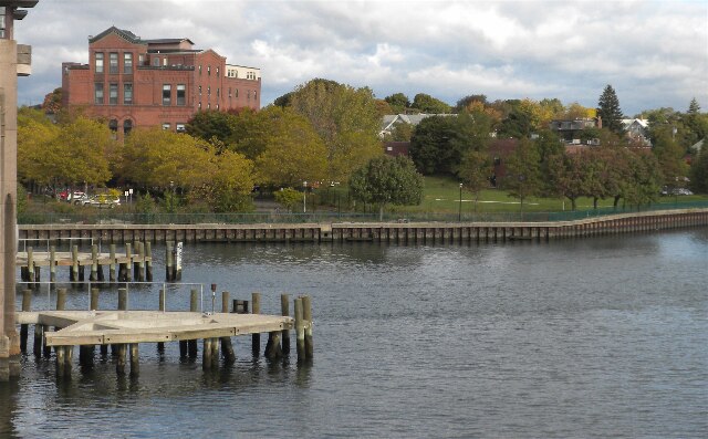
Photo: Emporostheoros, Public domain.
Fair Haven is a neighborhood in the eastern part of the city of New Haven, Connecticut, between the Mill and Quinnipiac Rivers. The northeast section of the neighborhood is also known as Chatham Square.
Mill River
Neighborhood
Mill River is a primarily industrial neighborhood in the city of New Haven, Connecticut located between the Wooster Square and Fair Haven neighborhoods.
Armada Brewing
- Type: Brewery
- Categories: workshop and industry
- Location: South Central Connecticut Planning Region, Connecticut, New England, United States, North America
- View on OpenStreetMap
Latitude
41.30284° or 41° 18′ 10″ northLongitude
-72.90039° or 72° 54′ 1″ westOpen location code
87H9833X+4ROpenStreetMap ID
node 11250186389OpenStreetMap feature
craft=brewery
This page is based on OpenStreetMap, Wikidata, and Wikimedia Commons.
We’d love your help improving our open data sources. Thank you for contributing.
Satellite Map
Discover Armada Brewing from above in high-definition satellite imagery.
Notable Places Nearby
Highlights include Quinnipiac Park and Saint Roses Church.
Nearby Places
Explore places such as Chapel Street and James Street and Cold Spring School.
Connecticut: Must-Visit Destinations
Delve into Hartford, New Haven, Bridgeport, and Stamford.
Curious Breweries to Discover
Uncover intriguing breweries from every corner of the globe.
About Mapcarta. Data © OpenStreetMap contributors and available under the Open Database License". Text is available under the CC BY-SA 4.0 license, except for photos, directions, and the map. Photo: Wikimedia, CC0.