FECLAZ_SAPC
FECLAZ_SAPC is a monitoring station in Les Déserts, Arrondissement of Chambéry, Auvergne-Rhône-Alpes and has an elevation of 1,328 metres. FECLAZ_SAPC is situated nearby to École MCF de la Féclaz - Massif des Bauges, as well as near Club de Ski Nordique de La Féclaz.| Tap on a place to explore it |
Places of Interest Nearby
Highlights include Chapelle Notre-Dame-des-Neiges de la Féclaz and Nivolet.
Chapelle Notre-Dame-des-Neiges de la Féclaz
Church

Photo: Lev. Anthony, CC BY-SA 4.0.
Chapelle Notre-Dame-des-Neiges de la Féclaz is a church, which is situated 500 metres south of FECLAZ_SAPC.
Nivolet
Scenic viewpoint
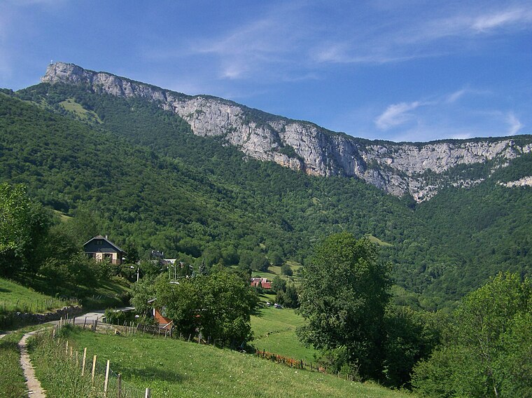
Photo: Wikimedia, CC BY-SA 3.0.
The Nivolet is a mountain of the Bauges Massif in the French Prealps in Savoie, France. Overlooking the city of Chambéry, the Nivolet cross is located at the summit since 1861. Nivolet is situated 4 km south of FECLAZ_SAPC.
Col de Plainpalais
Mountain saddle

Photo: Guilhem Vellut, CC BY 2.0.
Col de Plainpalais is a mountain saddle, which is situated 2½ km east of FECLAZ_SAPC.
Places in the Area
Nearby places include La Féclaz and Méry.

Méry
Village

Photo: Wikimedia, CC BY-SA 3.0.
Méry is a commune in the Savoie department in the Auvergne-Rhône-Alpes region in south-eastern France. It is part of the urban area of Chambéry. Méry is situated 3½ km west of FECLAZ_SAPC.
Drumettaz-Clarafond
Village

Photo: Mathis73, CC BY-SA 4.0.
Drumettaz-Clarafond is a commune in the Savoie department in the Auvergne-Rhône-Alpes region in south-eastern France. Drumettaz-Clarafond is situated 4½ km west of FECLAZ_SAPC.
FECLAZ_SAPC
Latitude
45.64716° or 45° 38′ 50″ northLongitude
5.98372° or 5° 59′ 1″ eastElevation
1,328 metres (4,357 feet)Inception
January 1st, 1993Operator
Météo-France;Direction générale de la prévention des risquesNetwork
ETENDUOpen location code
8FQ7JXWM+VFOpenStreetMap ID
node 11346451631OpenStreetMap feature
man_made=monitoring_station
This page is based on OpenStreetMap, Wikidata, and Wikimedia Commons.
We’d love your help improving our open data sources. Thank you for contributing.
Satellite Map
Discover FECLAZ_SAPC from above in high-definition satellite imagery.
Notable Places Nearby
Highlights include École MCF de la Féclaz - Massif des Bauges and Club de Ski Nordique de La Féclaz.
Nearby Places
Explore places such as Le Carcey and O‘ Givré.
Savoie: Must-Visit Destinations
Delve into Chambéry, Aix-les-Bains, Val-d’Isère, and Bourg-Saint-Maurice.
Curious Monitoring Stations to Discover
Uncover intriguing monitoring stations from every corner of the globe.
About Mapcarta. Data © OpenStreetMap contributors and available under the Open Database License". Text is available under the CC BY-SA 4.0 license, except for photos, directions, and the map. Photo: Mrhugues, CC BY-SA 3.0.