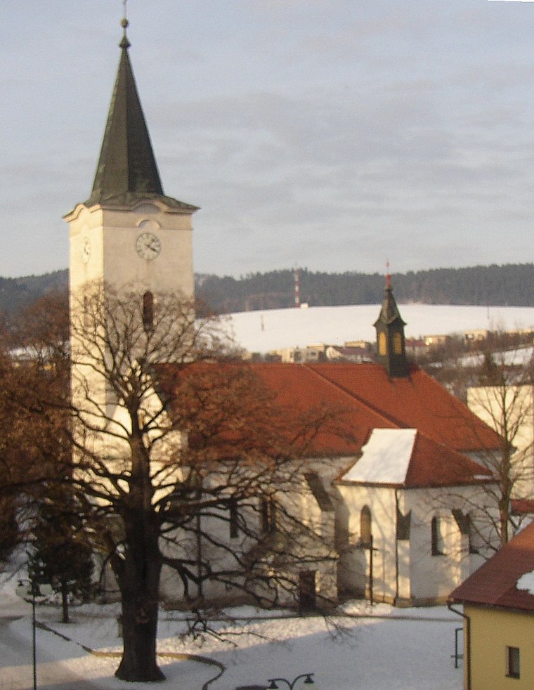
Námestie svätého Martina
Námestie svätého Martina is a square in Lipany, Sabinov District, Prešov Region. Námestie svätého Martina is situated nearby to Church of St Martin, Lipany, as well as near the shopping center Obchodné centrum Lipa.| Tap on a place to explore it |
Photo: Wikimedia, Public domain.
Places of Interest Nearby
Highlights include Church of St Martin, Lipany and Lipany railway station.
Lipany railway station
Railway station

Photo: Jetam2, CC BY-SA 4.0.
Lipany railway station is situated 370 metres southwest of Námestie svätého Martina.
Jewish cemetery (Lipany)
Cemetery

Photo: Doko, CC BY-SA 3.0.
Jewish cemetery (Lipany) is situated 320 metres north of Námestie svätého Martina.
Places in the Area
Nearby places include Lipany and Dubovica.
Lipany
Town

Photo: Doko, CC BY-SA 3.0.
Lipany is a town in the Sabinov District, Prešov Region in northeastern Slovakia.
Dubovica
Village
 Dubovica is a village and municipality in the Sabinov District, located in the Prešov Region of north-eastern Slovakia.
Ďačov
Village
 Ďačov is a village and municipality in Sabinov District in the Prešov Region of north-eastern Slovakia.
Námestie svätého Martina
- Type: Square
- Also known as: “Svätého Martina”
- Category: locality
- Location: Lipany, Sabinov District, Prešov Region, Slovakia, Central Europe, Europe
- View on OpenStreetMap
Latitude
49.15453° or 49° 9′ 16″ northLongitude
20.96339° or 20° 57′ 48″ eastOpen location code
8GX25X37+R9OpenStreetMap ID
node 11383177210OpenStreetMap feature
place=squareWikidata ID
Q56703686
This page is based on OpenStreetMap, Wikidata, and Wikimedia Commons.
We’d love your help improving our open data sources. Thank you for contributing.
Satellite Map
Discover Námestie svätého Martina from above in high-definition satellite imagery.
In Other Languages
“Námestie svätého Martina” goes by many names.
- Slovak: “Námestie svätého Martina”
Notable Places Nearby
Highlights include Obchodné centrum Lipa and Kaplnka Premenenia Pána.
Nearby Places
Explore places such as Socha sv. Martina and Večierka Fresh.
Slovakia: Must-Visit Destinations
Delve into Bratislava, Košice, Banská Bystrica, and Prešov.
Curious Squares to Discover
Uncover intriguing squares from every corner of the globe.
About Mapcarta. Data © OpenStreetMap contributors and available under the Open Database License". Text is available under the CC BY-SA 4.0 license, except for photos, directions, and the map. Photo: Wikimedia, Public domain.