Traubenkapf
Traubenkapf is a peak in Baden-Württemberg, Germany and has an elevation of 729 metres. Traubenkapf is situated nearby to the locality Birkstock, as well as near the village Rohrdorf.| Tap on a place to explore it |
Places of Interest
Highlights include Campus Galli and Ruine Benzenberg.
Campus Galli

Photo: Rengets, CC BY-SA 4.0.
Campus Galli is a Carolingian monastic community under construction in Meßkirch, Baden-Württemberg, Germany. The construction project includes plans to build a medieval monastery according to the early ninth-century Plan of Saint Gall using techniques from that era.

Leibertingen gliding site
Aerodrome

Photo: Carsten Steger, CC BY-SA 4.0.
Leibertingen gliding site is an aerodrome.
Places in the Area
Nearby places include Messkirch and Leibertingen.
Messkirch
Town
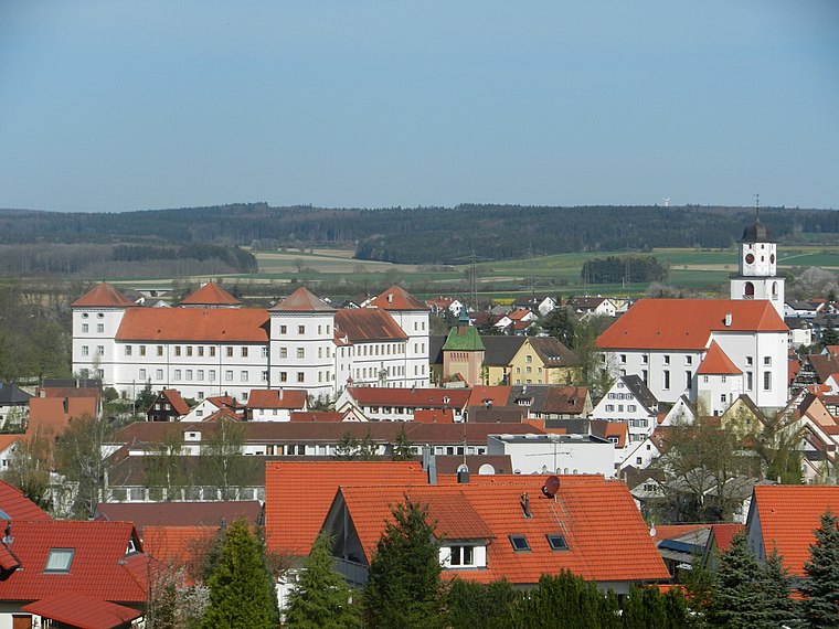
Photo: Zollernalb, CC BY-SA 3.0.
Meßkirch is a town in the district of Sigmaringen in Baden-Württemberg in Germany. The town was the residence of the counts of Zimmern, widely known through Count Froben Christoph's Zimmern Chronicle.
Leibertingen
Village

Photo: Wikimedia, CC BY-SA 3.0.
Leibertingen is a municipality in the district of Sigmaringen in Baden-Württemberg, Germany.
Kreenheinstetten
Village
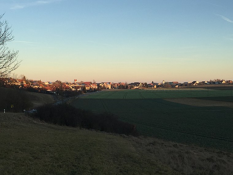
Photo: Zollernalb, CC BY-SA 4.0.
Kreenheinstetten is a village located in the district of Sigmaringen in Germany.
Traubenkapf
- Type: Peak with an elevation of 729 metres
- Category: landform
- Location: Baden-Württemberg, Germany, Central Europe, Europe
- View on OpenStreetMap
Latitude
48.0295° or 48° 1′ 46″ northLongitude
9.0654° or 9° 3′ 55″ eastElevation
729 metres (2,392 feet)Open location code
8FWF23H8+R5OpenStreetMap ID
node 11388620452OpenStreetMap feature
natural=peak
This page is based on OpenStreetMap, Wikidata, and Wikimedia Commons.
We’d love your help improving our open data sources. Thank you for contributing.
Satellite Map
Discover Traubenkapf from above in high-definition satellite imagery.
Localities in the Area
Explore places such as Birkstock and Rohrdorf.
Notable Places Nearby
Highlights include Sportplatz Rohrdorf and Steinbruch Rohrdorf.
Baden-Württemberg: Must-Visit Destinations
Delve into Stuttgart, Heidelberg, Karlsruhe, and Mannheim.
Curious Peaks to Discover
Uncover intriguing peaks from every corner of the globe.
About Mapcarta. Data © OpenStreetMap contributors and available under the Open Database License". Text is available under the CC BY-SA 4.0 license, except for photos, directions, and the map. Photo: Traveler100, CC BY-SA 3.0.