Obera Roriwang
Obera Roriwang is a locality in Canton of Bern, Switzerland. Obera Roriwang is situated nearby to the locality Löübren, as well as near Löüberwald.| Tap on a place to explore it |
Places of Interest
Highlights include Loucherhorn and Schynige Platte Railway.
Loucherhorn
Peak

Photo: KevinHadley, CC BY-SA 3.0.
The Loucherhorn is a mountain of the Bernese Alps, overlooking Lake Brienz in the Bernese Oberland. It is located east of the Schynige Platte.
Schynige Platte Railway
Railway station

Photo: Johannes-dilger, CC BY-SA 3.0.
The Schynige Platte Railway is a mountain railway in the Bernese Highlands area of Switzerland, which connects the town of Wilderswil, near Interlaken, with the famous wildflower gardens of the Schynige Platte.
Gumihorn
Peak

Photo: Wikimedia, Public domain.
The Gumihorn is a mountain of the Bernese Alps, the highest point of the Schynige Platte ridge, located at the western end of the Schwarzhorn group. It forms a limestone tower, overlooking the valley of the Lütschine.
Places in the Area
Nearby places include Bönigen and Lütschental.
Bönigen
Village
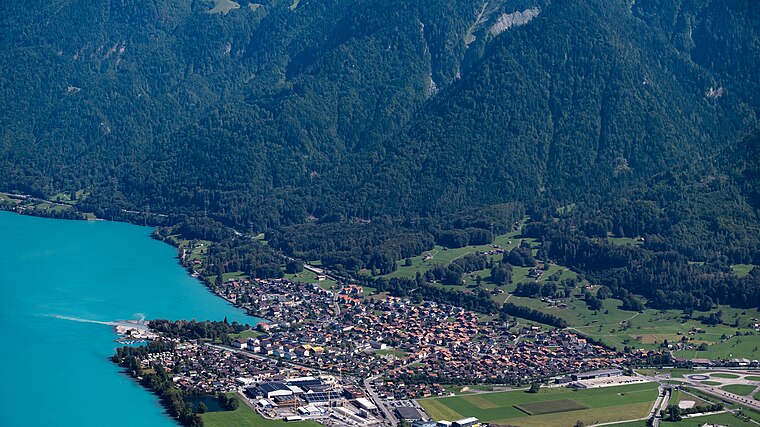
Photo: Espandero, CC BY-SA 4.0.
Bönigen is a village and municipality in the Interlaken-Oberhasli administrative district in the Swiss canton of Bern. It lies on the shore of Lake Brienz, near to the mouth of the river Lütschine, and adjacent to the resort town of Interlaken. Bönigen is situated 3 km northwest of Obera Roriwang.
Lütschental
Village

Photo: Thisisbossi, CC BY-SA 2.5.
Lütschental is a village and a municipality in the Interlaken-Oberhasli administrative district in the canton of Bern in Switzerland. Lütschental is situated 4 km southeast of Obera Roriwang.
Matten bei Interlaken
Village
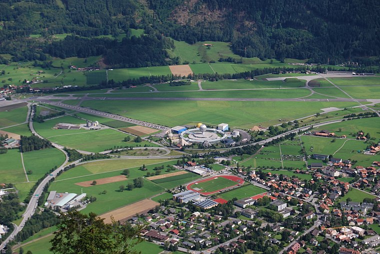
Photo: DidiWeidmann, CC BY-SA 3.0.
Matten bei Interlaken is a village and municipality in the Interlaken-Oberhasli administrative district in the canton of Bern in Switzerland. Matten b.I. belongs to the Small Agglomeration Interlaken with 23,300 inhabitants. Matten bei Interlaken is situated 4½ km west of Obera Roriwang.
Obera Roriwang
- Type: Locality
- Location: Canton of Bern, Switzerland, Central Europe, Europe
- View on OpenStreetMap
Latitude
46.66818° or 46° 40′ 6″ northLongitude
7.92453° or 7° 55′ 28″ eastOpen location code
8FR9MW9F+7ROpenStreetMap ID
node 11393377410OpenStreetMap feature
place=locality
This page is based on OpenStreetMap, Wikidata, and Wikimedia Commons.
We’d love your help improving our open data sources. Thank you for contributing.
Satellite Map
Discover Obera Roriwang from above in high-definition satellite imagery.
Localities in the Area
Explore places such as Löübren and Löüberwald.
Notable Places Nearby
Highlights include Roriwanghorn and path.
Switzerland: Must-Visit Destinations
Delve into Zurich, Berne, Geneva, and Basel.
Curious Localities to Discover
Uncover intriguing localities from every corner of the globe.
About Mapcarta. Data © OpenStreetMap contributors and available under the Open Database License". Text is available under the CC BY-SA 4.0 license, except for photos, directions, and the map. Photo: Simonizer, CC BY-SA 2.0 de.