Misty Meadows
Misty Meadows is a neighborhood in Baltimore County, Central Maryland, Maryland. Misty Meadows is situated nearby to the neighborhood Honeybrook Farm, as well as near Perry Hall Meadows.| Tap on a place to explore it |
Places of Interest
Highlights include Perry Hall High School and White Marsh Mall.
Perry Hall High School
School
Perry Hall High School is a public high school in Baltimore County, Maryland, United States, established in 1967 enrolling about 2,000 students a year.
White Marsh Mall
Retail building
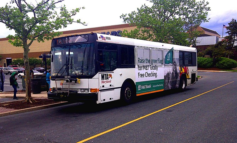
Photo: ETLamborghini, CC BY-SA 3.0.
White Marsh Mall is a regional shopping mall in the unincorporated and planned community of White Marsh, Maryland. It is one of the largest regional malls in the Baltimore metropolitan area, with 6 anchor stores and 134 specialty shops in 1,200,000 square feet. White Marsh Mall is situated 2 miles southwest of Misty Meadows.
Places in the Area
Nearby places include Honeygo and White Marsh.
Honeygo
Village
Honeygo is a census designated place in Baltimore County, Maryland, United States. It first appeared as a CDP in the 2020 Census with a population of 12,927.
White Marsh
White Marsh is a community of 9,500 people in Maryland. White Marsh is mostly known to outsiders for its shopping. The main shopping attraction is White Marsh Mall. Nearby is The Avenue, an outdoor shopping plaza.Germantown
Neighborhood

Photo: Carol M. Highsmith, Public domain.
Perry Hall is an unincorporated community and census-designated place in Baltimore County, Maryland, United States. The population was 28,474 at the 2010 census. It is a suburb of Baltimore. Germantown is situated 2 miles northwest of Misty Meadows.
Misty Meadows
- Type: Neighborhood
- Category: locality
- Location: Baltimore County, Central Maryland, Maryland, Mid-Atlantic, United States, North America
- View on OpenStreetMap
Latitude
39.39576° or 39° 23′ 45″ northLongitude
-76.4397° or 76° 26′ 23″ westOpen location code
87F59HW6+84OpenStreetMap ID
node 1140286601OpenStreetMap feature
place=neighbourhood
This page is based on OpenStreetMap, Wikidata, and Wikimedia Commons.
We’d love your help improving our open data sources. Thank you for contributing.
Satellite Map
Discover Misty Meadows from above in high-definition satellite imagery.
Places with the Same Name
Discover other places named “Misty Meadows”.
Localities in the Area
Explore places such as Honeybrook Farm and Perry Hall Meadows.
Notable Places Nearby
Highlights include The Fields at Cowenton Ridge Park and The Trails at Cowenton Ridge Park.
Baltimore County: Must-Visit Destinations
Delve into Towson, Pikesville, Owings Mills, and Cockeysville.
Curious Neighborhoods to Discover
Uncover intriguing neighborhoods from every corner of the globe.
About Mapcarta. Data © OpenStreetMap contributors and available under the Open Database License". Text is available under the CC BY-SA 4.0 license, except for photos, directions, and the map. Photo: Wikimedia, CC0.