Limoeiro
Limoeiro is a tram stop in Santa Maria Maior, Lisbon. Limoeiro is situated nearby to the square Largo de São Martinho, as well as near the museum Museu do Aljube - Resistência e Liberdade.| Tap on a place to explore it |
Places of Interest Nearby
Highlights include Castle of São Jorge and Cadeia do Limoeiro.
Castle of São Jorge

Photo: Robert Nyman, CC BY 2.0.
São Jorge Castle, sometimes known in English as Saint George's Castle, is a historic castle in the Portuguese capital of Lisbon, located in the freguesia of Santa Maria Maior. Castle of São Jorge is situated 430 metres north of Limoeiro.
Cadeia do Limoeiro
Public building
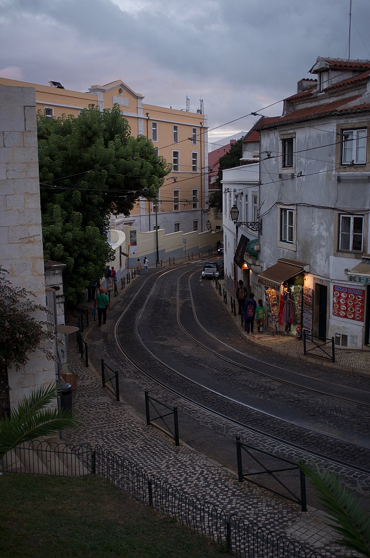
Photo: Aleksandr Zykov, CC BY-SA 2.0.
Cadeia do Limoeiro is a public building.
Casa dos Bicos
Public building

Photo: Alvesgaspar, CC BY-SA 3.0.
The Casa dos Bicos is a historical house in the civil parish of Santa Maria Maior, in the Portuguese municipality of Lisbon. The house, built in the early 16th century in the Alfama neighbourhood, has a curious façade of spikes, influenced by Italian Renaissance palaces and Portuguese Manueline styles. Casa dos Bicos is situated 160 metres southwest of Limoeiro.
Places in the Area
Nearby places include Madalena and Alfama.
Madalena
Village

Photo: Deryck Chan, CC BY-SA 4.0.
Madalena is a former civil parish in the city and municipality of Lisbon, Portugal. It has a total area of 0.11 km2 and total population of 380 inhabitants; density: 3,423 inhabitants/km2.
Alfama

Photo: diego cue, CC BY-SA 3.0.
The Alfama is the oldest neighborhood of Lisbon, spreading on the slope between the São Jorge Castle and the Tagus river. The district includes the freguesias of São Miguel, Santo Estêvão, São Vicente de Fora and part of the two streets, "Freguesia da Sé: Rua do Barão" and "Rua São João da Praça".
Baixa
 Baixa is a district in Lisbon, Portugal. The Baixa has many squares and monuments, offering numerous photo opportunities. The area suffered devastating destruction in the Great Earthquake on All Saints' Day, 1 November 1755.
Limoeiro
- Type: Tram stop
- Categories: railway stop, transport stop, and transportation
- Location: Santa Maria Maior, Lisbon, Lisbon District, Portugal, Iberia, Europe
- View on OpenStreetMap
Latitude
38.71034° or 38° 42′ 37″ northLongitude
-9.13165° or 9° 7′ 54″ westOperator
CarrisNetwork
CarrisOpen location code
8CCGPV69+48OpenStreetMap ID
node 1140935124OpenStreetMap feature
public_transport=stop_positionOpenStreetMap feature
railway=tram_stop
This page is based on OpenStreetMap, Wikidata, and Wikimedia Commons.
We’d love your help improving our open data sources. Thank you for contributing.
Satellite Map
Discover Limoeiro from above in high-definition satellite imagery.
Places with the Same Name
Discover other places named “Limoeiro”.
Notable Places Nearby
Highlights include Largo de São Martinho and Museu do Aljube - Resistência e Liberdade.
Nearby Places
Explore places such as Cazas para a Habitação dos Mercieiros and Limoeiro.
Lisbon: Must-Visit Destinations
Delve into Bairro Alto, Alfama, Baixa, and Belém.
Curious Tram Stops to Discover
Uncover intriguing tram stops from every corner of the globe.
About Mapcarta. Data © OpenStreetMap contributors and available under the Open Database License". Text is available under the CC BY-SA 4.0 license, except for photos, directions, and the map. Photo: Alvesgaspar, CC BY-SA 3.0.